What is recorded here
Moorfield is listed under Longford in your request but the supplied facts describe County Galway, so I must keep the answer tied to the facts given. The Galway rath is a poorly preserved earthen ring about thirty metres across, set in undulating grassland and marked by a bank rather than a sharp stone edge. It may have been a farmstead, a boundary marker, or a place people avoided because fairy forts sound like warnings. The earth still holds the shape even when the name becomes a story.
In undulating grassland, formerly part of Moorfield Demesne. This poorly preserved subcircular rath (31m NNE-SSW; 26.5m NNW-SSE) is defined by a bank. A field wall running NE-SW lies immediately outside it to the E.
Compiled by: Galway Archaeological Survey, UCG
Date of upload: 18 April 2019
The monument record does not grant public access. Check the route and ask the landowner before entering private land.
- What survives
- Recorded monument
Places near here
 Moorfield Househouse · 399 yd
 Feaghmorehouse · 1103 yd
 LisnapeakFairy fort / earthen ringfort · 1722 yd
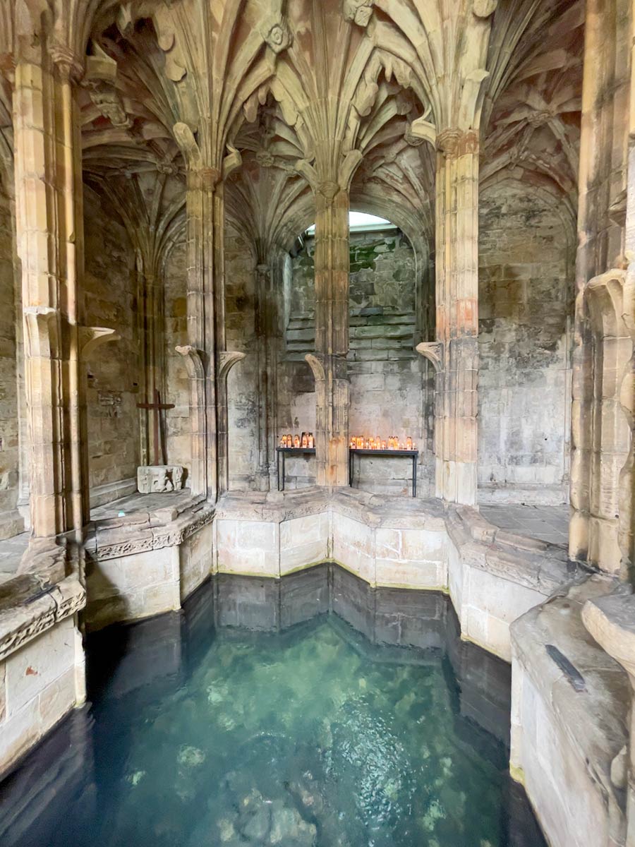 Ecclesiastical enclosure in StowlinEcclesiastical enclosure · 1.2 mi
 Longford Castle (in ruins)Castle, unclassified · 1.9 mi
 Ballymore CastleCastle, tower house · 3.1 mi
 Silver FirSilver Fir · 3.1 mi
 Redmond HillMountain / peak · 3.3 mi
 Ballymacegan IslandIsland · 3.3 mi
 Long IslandIsland · 4.1 mi
 European YewEuropean Yew · 4.8 mi
 MeelickVisitor information · 4.9 mi