What is recorded here
No visible monument remains at Moohane, dromin except a low semi-circular earthen bank, much reduced and cut through by later fieldbanks. It is listed as a fairy fort or ringfort about twenty metres across, the kind of shallow earthwork that could have enclosed a homestead, a byre or a boundary marker in a working landscape. The fairy name may be later folklore layered onto an ordinary place, but the earth itself still holds the shape of a choice made long before the field was divided.
Internal diameter c 20m N-S
Situated in the middle of a large pastoral field, this site is now much levelled and has been cut to the W by a fieldbank running NE-SE and to the N by one running NW-SW. All that remains today is a low, wide semi-circular earthen bank that measures .7m externally and .4m above the interior.
The above description is derived from C. Toal, ‘North Kerry Archaeological Survey’. Dingle. Brandon in association with FAS Training and Employment Authority (1995), no. 243. In certain instances the entries have been revised and updated in the light of recent research.
Date of upload: 2 August 2013
The monument record does not grant public access. Check the route and ask the landowner before entering private land.
- What survives
- Recorded monument
Places near here
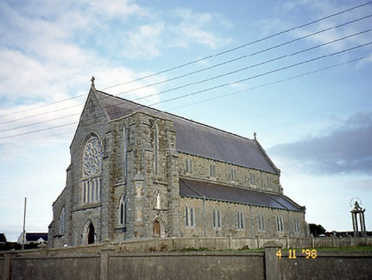 Saint John's Catholic Churchchurch/chapel · 1107 yd
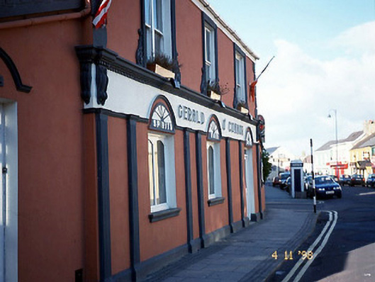 Gerald O'Connorhouse · 1224 yd
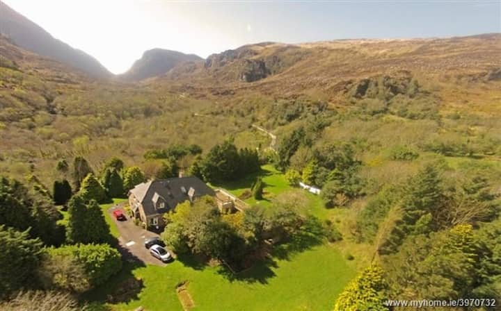 ToberreendoneyHoly well · 1362 yd
 Ballybunion Cliff PathWalking route · 1387 yd
 Nuns' BeachBeach / strand · 1534 yd
 Ladies' BeachBeach / strand · 1590 yd
 Dookeenee CastleCastle · 1636 yd
 Man-made underground passage in BallybunnionMan-made underground passage · 1649 yd
 CastleCastle, tower house · 1666 yd
 PulleenIslet · 1.2 mi
 Doon PointHeadland · 1.4 mi
 Bromore CliffsCliff · 1.5 mi