What is recorded here
Monumentpark holds a faded fairy fort, a subcircular ring of earth thirty-two metres across, sitting one hundred and fifty metres west of another rath. Quarrying has bitten into its banks from several directions, leaving only a suggestion of the entrance and a memory of the ditch that once ringed it. The loss is not empty; it is a reminder that human hands keep taking even what time has already softened.
Some 150m W of a ringfort (GA030-099----). Poorly preserved subcircular rath (NW-SE 32m) defined by a bank and external fosse. Possible entrance gap at NE. Quarrying has encroached upon the enclosing elements from N to NE and from S to W.
The above description is derived from the published 'Archaeological Inventory of County Galway Vol. II - North Galway'. Compiled by Olive Alcock, Kathy de hÓra and Paul Gosling (Dublin: Stationery Office, 1999).
Date of upload: 05 August 2010
The monument record does not grant public access. Check the route and ask the landowner before entering private land.
- What survives
- Recorded monument
Places near here
 MonumentLeacht cuimhne · 265 yd
 Aghloragh Church (in ruins)Church · 1270 yd
 Castle (in ruins)Castle, tower house · 1.1 mi
 Knockavanny Housedemesne walls/gates/railings · 1.1 mi
 Enclosure in BracklaghEnclosure · 1.4 mi
 CastleCastle, unclassified · 2.8 mi
 European ashEuropean ash · 4.9 mi
 Mass RockNamed rock · 6.3 mi
 KnockmaaWood · 7.8 mi
 Castlemoyle Ho.House, 18th/19th century · 1.1 mi
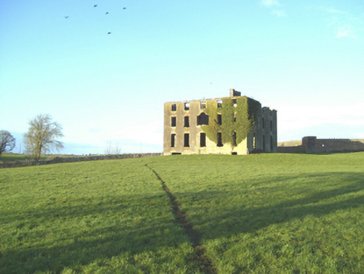 Castlemoyle Housecountry house · 1.1 mi
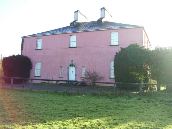 Birmingham Househouse · 1.1 mi