What is recorded here
Quarrying has already bitten into the southeast edge, proving that even forgotten fortresses must yield to human hunger. The original eastern gap suggests entry rather than destruction, inviting imagination about the people who walked through without building a door. Two banks and a central ditch still trace a subcircular shape twenty-six to twenty-eight metres across, large enough for lives but small enough to overlook.
On a rise in low-lying grassland. Subcircular rath (E-W 28m, N-S 26m), in fair condition, defined by two banks and an intervening fosse. The inner bank, with traces of inner stone-facing, is visible from NW through N to ESE; elsewhere a scarp forms the enclosing element. The fosse and outer bank survive from SW through W to NW. Quarrying has encroached upon the monument at SE. A gap at E appears original. A ringfort (GA030-100----) lies c. 150m to W.
The above description is derived from the published 'Archaeological Inventory of County Galway Vol. II - North Galway'. Compiled by Olive Alcock, Kathy de hÓra and Paul Gosling (Dublin: Stationery Office, 1999).
Date of upload: 05 August 2010
The monument record does not grant public access. Check the route and ask the landowner before entering private land.
- What survives
- Recorded monument
Places near here
 MonumentLeacht cuimhne · 99 yd
 Aghloragh Church (in ruins)Church · 1231 yd
 Castlemoyle Ho.House, 18th/19th century · 1.1 mi
 Castle (in ruins)Castle, tower house · 1.2 mi
 Enclosure in BracklaghEnclosure · 1.4 mi
 CastleCastle, unclassified · 2.9 mi
 European ashEuropean ash · 4.9 mi
 Mass RockNamed rock · 6.4 mi
 KnockmaaWood · 7.9 mi
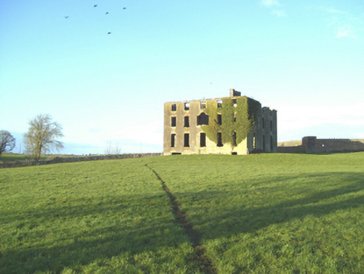 Castlemoyle Housecountry house · 1.1 mi
 Knockavanny Housedemesne walls/gates/railings · 1.1 mi
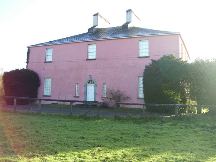 Birmingham Househouse · 1.2 mi