What is recorded here
Monteen holds two earthen rings, one a fairy fort and the other a true ringfort, joined on a NW-facing slope where pasture still covers the marks. The fairy fort measures twenty-eight metres across, with a broken bank and shallow outer ditch, while the ringfort sits twenty metres to the west. They may have served different purposes, or one may have been invented to explain the other.
In pasture, on NW-facing slope. Circular, slightly raised area (diam. 28m) enclosed by earthen bank (int. H 0.6m), broken to NNE (Wth 5m). External fosse (D 0.7m) WNW->NE. Interior slopes down to N. Ringfort (CO122-053001-) lies 20m to W.
The above description is derived from the published 'Archaeological Inventory of County Cork. Volume 1: West Cork' (Dublin: Stationery Office, 1992). In certain instances the entries have been revised and updated in the light of recent research.
Date of upload/revision: 14 January 2009
The monument record does not grant public access. Check the route and ask the landowner before entering private land.
- What survives
- Recorded monument
Places near here
 MaullaghseefinBarrow, mound barrow · 851 yd
 Monteen Castle (in Ruins)Castle, tower house · 1221 yd
 Burial Ground for childrenBurial ground · 1322 yd
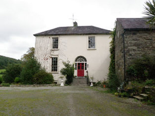 Ardnavaharectory/glebe/vicarage/curate's house · 1581 yd
 English hollyEnglish holly · 1602 yd
 All Saints Kilmalooda Church of Ireland Churchchurch/chapel · 1645 yd
 Graveyard in KilmalodaGraveyard · 1659 yd
 Argideen Valley trailVisitor information · 2.6 mi
 Argideen Loop WalksVisitor information · 2.6 mi
 Michael Collins CentreMuseum · 2.7 mi
 Tobar MacloonaboySpring · 2.8 mi
 Battle of the Big Cross (1798) Memorial MonumentMonument · 3.0 mi