What is recorded here
Fairy fort / earthen ringfort in Monroe (Youghalarra parish) is a fairy fort or earthen ringfort in Monroe (Youghalarra parish), County Tipperary, Ireland. Aerial imagery taken in 2011-13 shows the outline of a circular enclosure about 42 metres across in grassland, defined by a low bank and outer ditch. A northeast-to-southwest field boundary cuts through its south side and forms the townland boundary with Gortnaveigh.
In grassland, transected at S by a field boundary running NE-SW which forms townland boundary with Gortnaveigh. Outline of circular-shaped area (approx. diam. 42m) enclosed by a low bank and external ditch visible on Digital Globe aerial imagery taken 2011-13.
Compiled by: Caimin O’Brien
Date of upload: 4 June 2020
The monument record does not grant public access. Check the route and ask the landowner before entering private land.
- What survives
- Recorded monument
Places near here
 Youghalarra National Schoolschool · 433 yd
 Newtown Millmill (water) · 870 yd
 Shantom BushRitual site, holy tree/bush · 1111 yd
 Monroe Castle in ruinsCastle, unclassified · 1398 yd
 Knockshane RathFairy fort / earthen ringfort · 1555 yd
 Blessed WellNature reserve · 1.0 mi
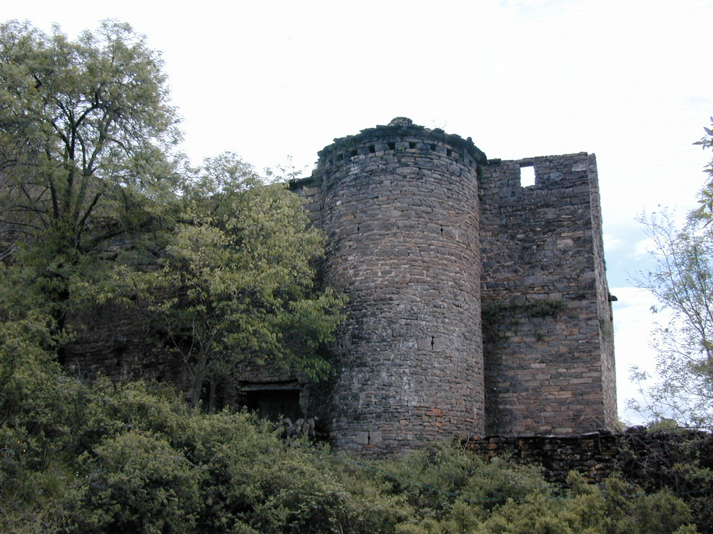 (Site of) Pallas CastleCastle, Anglo-Norman masonry castle · 1.1 mi
 Mass RockNamed rock · 1.8 mi
 Giant's GraveArchaeological place · 2.0 mi
 Youghal BayBay · 2.3 mi
 Corbally HillMountain / peak · 2.6 mi
 Garrykennedy ForestWood · 2.7 mi