What is recorded here
Situated on a slight natural rise and surrounded by gently undulating grassland overlooked by a high hill to the N. Ring-barrow (WM011-137----) and stepped-barrow (WM011-159---) 130m to NNW, ringfort (WM011-140---) 200m to NNE. A large oval shaped area (approx. diam. 39m N-S; 43m E-W) enclosed by a substantial earthen bank and wide deep external fosse. The bank has been quarried away at SSW, WNW & ESE, and the fosse has been infilled from SE-SW. The interior slopes from NW-SE and has traces of wide cultivation ridges which also run in that direction. A field fence running NNE-SSW intersects the site at W; a second field fence intersects the perimeter at NE and a third field fence curves around the fosse from NW-NE.
Compiled by: Frank Coyne and Caimin O'Brien
Date of upload: 29 August 2017
The monument record does not grant public access. Check the route and ask the landowner before entering private land.
- What survives
- Recorded monument
Places near here
 Partially hachuredFairy fort / earthen ringfort · 607 yd
 Lack LomanArchaeological place · 617 yd
 Nugent's CastleCastle · 1406 yd
 IndicatedCastle, motte · 1414 yd
 Portloman AbbeyChurch · 1455 yd
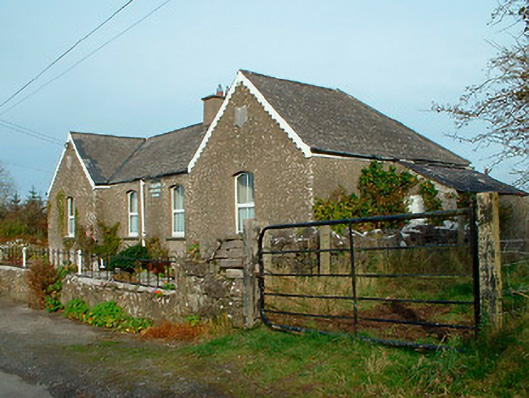 Balrath National Schoolschool · 1576 yd
 Carrickphilbin IslandIslet · 1651 yd
 Srudarra IslandIslet · 1.6 mi
 Baronstown ForestWood · 4.2 mi
 Horse-chestnutHorse-chestnut · 4.3 mi
 Bridge Memorial (Kenna)Memorial · 4.4 mi
 Abbeyshrule AbbeyRuins · 9.5 mi