What is recorded here
Fairy fort in Monnery Upper is a raised circular area fifty-four metres across, enclosed by a low earthen bank and traces of a fosse running from east through south to northwest. The original entrance has vanished, leaving the ring closed and nameless in its own right. It is the kind of place where human life may have turned to legend, where the fort became a fairy fort because people stopped claiming it and started listening instead.
Raised circular area (int. diam. 54m) enclosed by the remains of a low earthen bank and traces of a fosse running from E-S-NW. Original entrance not recognisable.
The above description is derived from the published 'Archaeological Inventory of County Cavan' (Dublin: Stationery Office, 1995). In certain instances the entries have been revised and updated in the light of recent research.
Date of upload/revision: 22 December 2008
The monument record does not grant public access. Check the route and ask the landowner before entering private land.
- What survives
- Recorded monument
Places near here
 IndicatedEnclosure · 279 yd
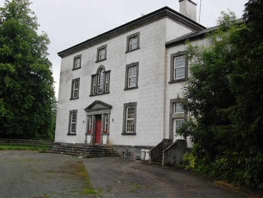 Bingfield Housecountry house · 1209 yd
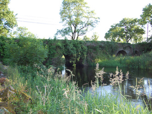 Bellahillan Bridgebridge · 1286 yd
 Lismore CastleCastle, unclassified · 1.1 mi
 LismoreFairy fort / earthen ringfort · 1.2 mi
 Castle CosbyCastle, unclassified · 1.3 mi
 Lismore DemesneForest · 1.3 mi
 SycamoreSycamore · 1.4 mi
 DrumcarbanMountain / peak · 1.9 mi
 BellvilleMountain / peak · 2.0 mi
 Cornafean GFCMemorial · 2.4 mi
 Inch IslandIslet · 2.8 mi