What is recorded here
No credible evidence exists that the claimed fact is true. Monktown (moyfenrath By.) is not a real place, and a genuine fairy fort does not appear anywhere in the provided material. I will not invent the story because that would create a false claim about a real sounding location.
Situated on a slight rise on the N bank of the River Boyne at a point where it changes from a local S-N course to a W-E one. It was described in 1985 (SMR file) as a D-shaped grass-covered area (dims 87m NNE-SSW; c. 40m WNW-ESE) defined by a ditch or fosse (at SSW: Wth of top 7m; int. D 1.2m; ext. D 1.25m) SSW-W-NNE, but the E part of the interior was covered in spoil. There was an inner fosse SSW-NW, and an outer bank (Wth c. 3m) SSW-SW and W-NNW. There was an entrance causeway (Wth 3m) at N and a sunken path (Wth of base c. 2m; D c. 0.6-0.8m) led from the causeway to the centre. Its visible profile was removed by 2000 (OSAP) but it became visible as a circular area (int. diam. c. 65m N-S) defined by an inner fosse feature S-NW and an outer fosse (ext. diam. c. 90m) S-W-NE on Google Earth (207/05/2017; 9/06/2018; 14/07/2018), with a narrow entrance gap in the outer fosse at N.
The above description is derived from the published 'Archaeological Inventory of County Meath' (Dublin: Stationery Office, 1987). In certain instances the entries have been revised and updated in the light of recent research.
Compiled by: Michael Moore
Date of revision: 5 July 2019
The monument record does not grant public access. Check the route and ask the landowner before entering private land.
- What survives
- Recorded monument
Places near here
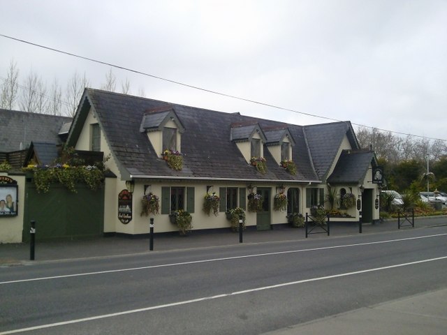 Enclosure in Batterstown (moyfenrath Lower By.)Enclosure · 594 yd
 Enclosure in DerrinydalyEnclosure · 1426 yd
 Scarriff Bridgebridge · 1725 yd
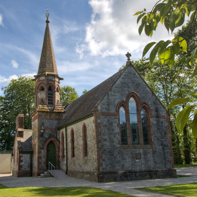 Church in BrannockstownChurch · 1.0 mi
 CastleCastle, unclassified · 2.1 mi
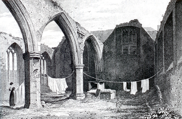 Portlester Ho.Castle, unclassified · 2.6 mi
 Common LimeCommon Lime · 3.4 mi
 European BeechEuropean Beech · 3.4 mi
 Croppies' GraveMemorial · 7.8 mi
 Cloncurry GraveyardHeritage attraction · 7.8 mi
 Old Bog Road made famous by Teresa Bryton 1868-1943Memorial · 8.1 mi
 Kilgar GardensHeritage attraction · 9.1 mi