What is recorded here
No stone or soil marks the Moneymore fort now, though the 1841 survey still draws its line beside the River Nore. That vanished ring may have housed people, excluded strangers or simply given the riverbank a name. Forgetting has done more work there than any builder.
Marked on the 1841 edition of the OS 6-inch map. Situated on the NW bank of the River Nore. No visible surface remains.
The above description is derived from the published 'Archaeological Inventory of County Laois' (Dublin Stationery Office, 1995) compiled by P. David Sweetman, Olive Alcock and Bernie Moran. In certain instances the entries have been revised and updated in the light of recent research.
Date of upload: 17 December 2007
The monument record does not grant public access. Check the route and ask the landowner before entering private land.
- What survives
- Recorded monument
Places near here
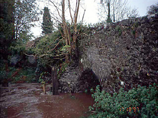 Moneymore Bridgebridge · 881 yd
 CastleCastle, unclassified · 1296 yd
 Saint Mark's Church (Aghaboe)church/chapel · 1665 yd
 OutlinedEnclosure · 1.2 mi
 Burial Gd.Bawn · 1.2 mi
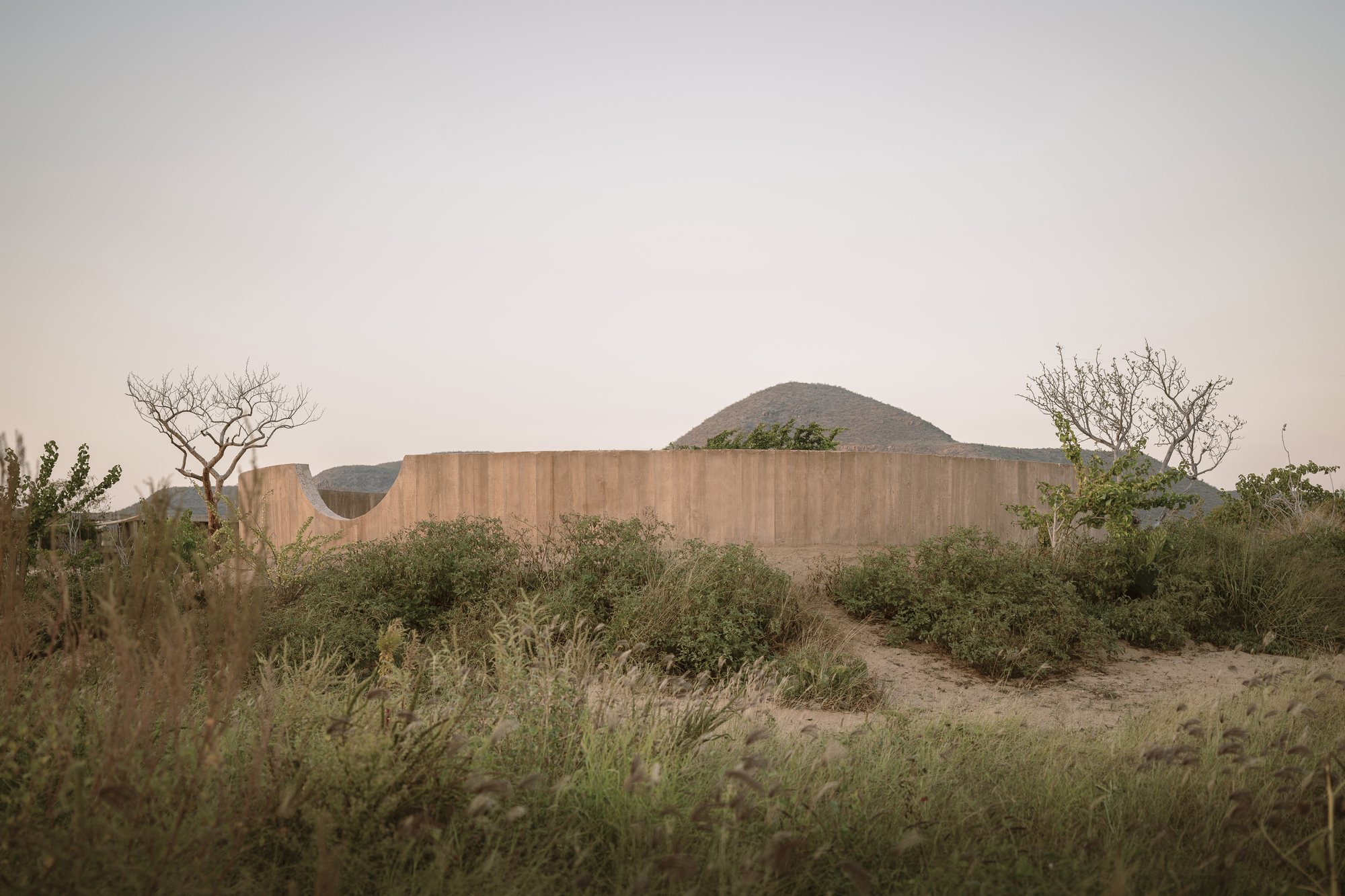 Ceremonial enclosure in Newtown OR SkirkCeremonial enclosure · 1.5 mi
 Saint Kieran's WellSpring · 3.7 mi
 European BeechEuropean Beech · 3.8 mi
 Carricknasrock WoodWood · 4.2 mi
 Black HillMountain / peak · 4.7 mi
 Golden Grove HillMountain / peak · 7.5 mi
 Leap CastleCastle · 8.9 mi