What is recorded here
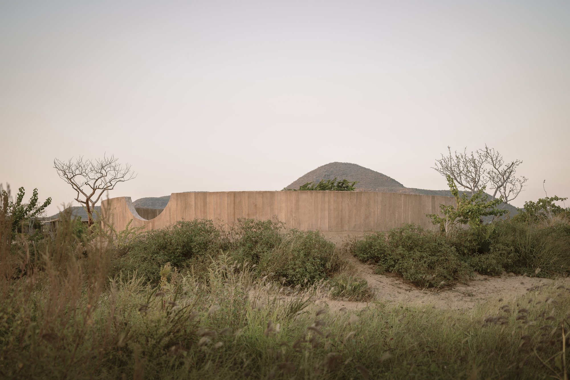
Situated in grassland with stream 90m to W marking county boundary with Tipperary, poorly drained land to W with two fulacht fia (LA021-009----/LA021-008----) 95m and 85m to N and NW respectively. Henge monument (LA021-021001-) located c. 800m to SE. A large circular shaped enclosure (approx. diam. 96m N-S) defined by a slight bank with faintest suggestion of an external ditch with possible annexe of uncertain antiquity at NE. The cropmark of the possible annexe is depicted as a curving field boundary on the OS 25-inch map but is not depicted on the 1838 ed. OS 6-inch map which suggests that this feature may date from the 19th century. To S are faint linear cropmarks which may suggest the site of a possible field system of uncertain antiquity. Some of these field boundaries are depicted on the 1838 ed. OS 6-inch map. It is possible that the linear cropmarks identified may be a combination of the remains of old water courses associated with the stream which forms the W boundary of the field and post-1700 field boundaries depicted on various editions of the OS 6-inch maps. The straight linear cropmark running NE-SW which is 23m S of the enclosure is depicted on the 25-inch OS map as a stream or watercourse flowing from SE to NW.
Compiled by: Caimin O'Brien with details kindly provided by Stephen Kehoe of the Discovery Programme - see attached labelled aerial photograph showing identification of features by Stephen Kehoe
Date of upload: 24 April 2018
The monument record does not grant public access. Check the route and ask the landowner before entering private land.
- What survives
- Recorded monument
Places near here
 Moat of SkirkeCastle, motte and bailey · 967 yd
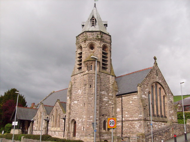 Church (in Ruins)Church · 994 yd
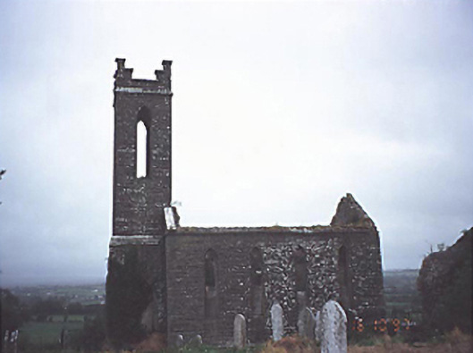 Skirk Churchchurch/chapel · 1001 yd
 Castle (in Ruins)Castle, tower house · 1230 yd
 Enclosure in Newtown OR SkirkEnclosure · 1610 yd
 EnclosureEnclosure, large enclosure · 1.0 mi
 Carricknasrock WoodWood · 3.1 mi
 Black HillMountain / peak · 3.5 mi
 European BeechEuropean Beech · 3.8 mi
 Saint Kieran's WellSpring · 4.3 mi
 Millennium GardenMemorial · 5.7 mi
 Eagle HillMountain / peak · 8.6 mi
Other information
Photo: Credit not shown in the picture search · Rights wording not checked; contact us if this picture should be removed