What is recorded here
Fairy forts are human ringforts misnamed by later folklore. This is a real rath in Moneygall: a roughly circular enclosure on a ridge slope, with an earthen bank, external ditch and a possible causeway gap at the southeast. The eastern part is damaged by a modern field fence, but the shape still reads as a defended or occupied place rather than a fairy story. People may have lived, stored or hidden here before the name changed its meaning.
Situated on N facing slope of E-W ridge in undulating countryside. Roughly circular area (diam 27m N-S; 33m E-W) enclosed by an earthen bank (Wth 2m; ext. H 1m; int. H 0.5m) which is destroyed at E by a modern field fence and external fosse (Wth 3m; ext. D 0.5m) also destroyed at E. Possible causeway entrance gap (Wth 3.5m) at SE. Interior of site slopes from S to N.
The above description is derived from the published 'Archaeological Inventory of County Offaly' (Dublin: Stationery Office, 1997). In certain instances the entries have been revised and updated in the light of recent research.
Date of upload: 23 May 2011
The monument record does not grant public access. Check the route and ask the landowner before entering private land.
- What survives
- Recorded monument
Places near here
 Laughton Housecountry house · 735 yd
 CastleCastle, tower house · 930 yd
 IndicatedEnclosure · 942 yd
 J. Collisonhouse · 950 yd
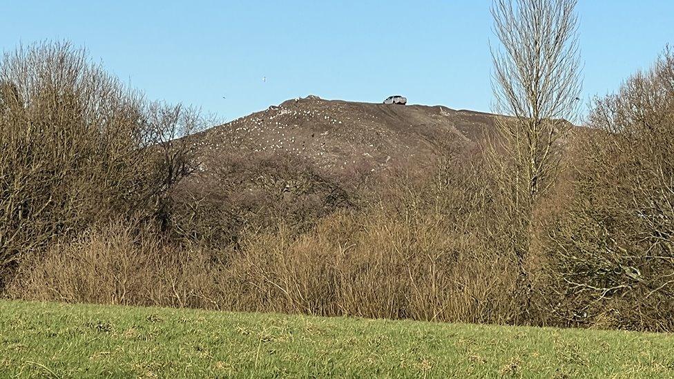 Burnt mound in CullenwaineBurnt mound · 1048 yd
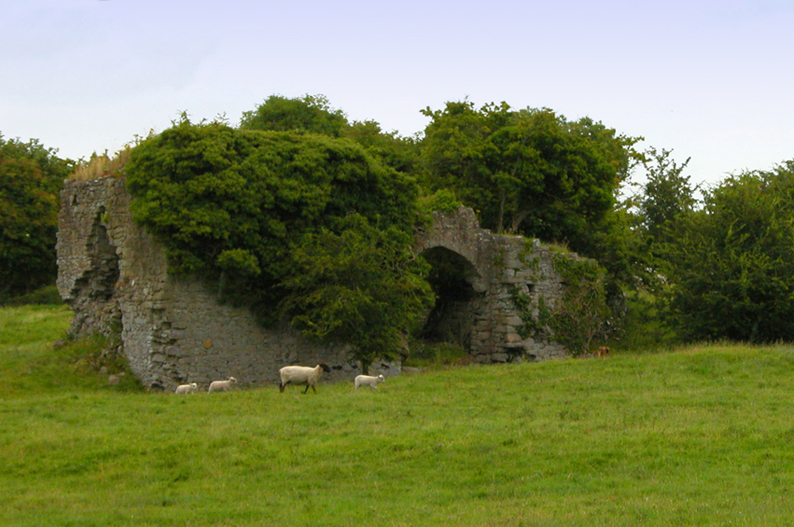 Bawn in CullenwaineBawn · 1.3 mi
 BenduffMountain / peak · 2.0 mi
 Kyleroe WoodWood · 2.0 mi
 Borrisnoe MountainMountain / peak · 3.0 mi
 Longford WoodForest · 4.3 mi
 Thomas MacDonagh Heritage CentreMuseum · 5.5 mi
 MacDonagh HouseMemorial · 5.6 mi