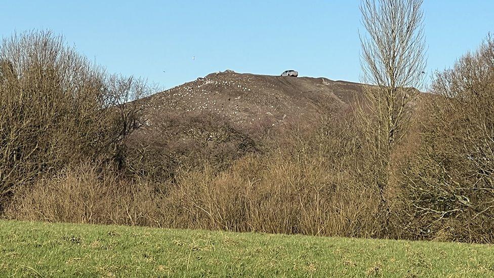
What is recorded here
Phase 2 excavations along 17.1km (Contract 1) of the 35km N7 Castletown to Nenagh (Derrinsallagh to Ballintotty) national road scheme were commissioned by Laois County Council and the National Roads Authority. Contract 1 comprises the western half of the scheme and runs from Clashnevin to Castelroan, passing along the Tipperary North and Offaly county border regions. Six areas of archaeology were uncovered during Contract 1 trial-trench testing. Cullenwaine 1, Area 5.1, was originally tested under licence E3377 in 2007.
The excavation at Cullenwaine 1 revealed a concentration of prehistoric activity that comprised three spreads of burnt-mound material, ten troughs, one post-hole, eleven stake-holes, two ditches, two hearths, numerous layers, four cremation pits (OF047-028002-/005-) and five possible cremation pyres. The majority of the features cut the subsoil. Two ditches truncated the area of the site; they were orientated north-east/south-west. Six of the troughs were located in close proximity to each other at the north-west end of the site. A hearth was located to the south of the group of pits. Four additional troughs were located further to the south. There was no evidence of timber lining in any of the troughs. A hearth was located to the north-east of the troughs.
A total of seven of the pits were located in the eastern portion of the site, unassociated with the layers of burnt-mound material. The four cremation pits were located in close proximity to each other at the north-west end of the site, to the south of the cluster of six troughs. The pits measured on average 0.7m by 0.6m and the fills included fragments of cremated bone. These were associated with four possible pyres, also located in the north-west corner of the site (Bennett 2010, 401).
Compiled by Caimin O'Brien
Date of upload/revision: 08 November 2011
A burnt mound in Cullenwaine is a prehistoric ritual or industrial site, typically dating to the Neolithic or Bronze Age, characterized by heat-shattered stones and often associated with water. Its significance lies in providing evidence of early land use and human activity in the region.
The monument record does not grant public access. Check the route and ask the landowner before entering private land.
- What survives
- Recorded monument
Places near here
 Enclosure in ClynoeEnclosure · 653 yd
 Laughton Housecountry house · 1023 yd
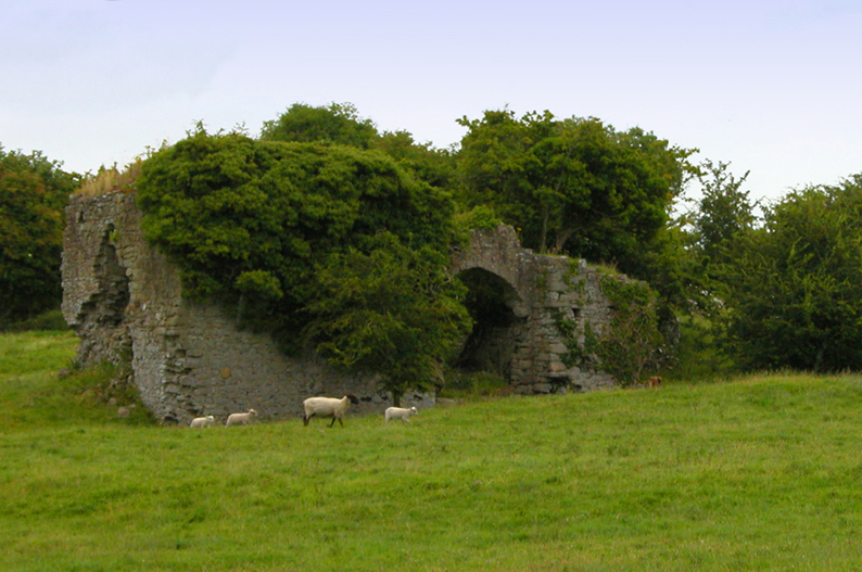 Bawn in CullenwaineBawn · 1307 yd
 Mound in CullenwaineMound · 1390 yd
 CastleCastle, tower house · 1432 yd
 J. Collisonhouse · 1495 yd
 Kyleroe WoodWood · 2.1 mi
 BenduffMountain / peak · 2.6 mi
 Borrisnoe MountainMountain / peak · 3.6 mi
 Longford WoodForest · 4.7 mi
 Thomas MacDonagh Heritage CentreMuseum · 4.9 mi
 MacDonagh HouseMemorial · 5.0 mi
Other information
Photo: Credit not shown in the picture search · Rights wording not checked; contact us if this picture should be removed