What is recorded here
Fairy fort in Moneygaff West: a 30 m earthen ring, 2.1 m high, on a west-facing pasture slope, with a smaller 7.5 m hut circle inside and conifers growing among the banks. People called it a fairy fort because the shape seemed hidden rather than abandoned, as if the field itself had swallowed a house and kept only its outline. The laneway cutting through the middle suggests the ring was never only a boundary; it may have been a place for turning back, for passing through, for remembering what the land had taken.
In pasture, on W-facing slope. Circular area (diam. 30m) enclosed by earthen bank (H 2.1m); external fosse survives as drain-like feature to SE. Bank stone-faced in parts; gap to SE and W joined by laneway crossing interior. Circular hut site (diam. 7.5m) (CO094-029001-) in NW quadrant, defined by bank of earth and stone. Interior planted with conifers.
The above description is derived from the published 'Archaeological Inventory of County Cork. Volume 1: West Cork' (Dublin: Stationery Office, 1992). In certain instances the entries have been revised and updated in the light of recent research.
Date of upload/revision: 14 January 2009
The monument record does not grant public access. Check the route and ask the landowner before entering private land.
- What survives
- Recorded monument
Places near here
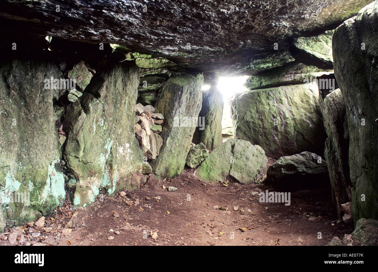
 LabbaowenWedge tomb · 730 yd
 Man-made underground passage in SlieveowenMan-made underground passage · 779 yd
 monumentmonument · 1.8 mi
 Carrigboy Castlehouse · 2.3 mi
 Kilmichael Ambush SiteMonument · 2.8 mi
 Kilmichael Ambushambush · 2.8 mi
 Castle RockNamed rock · 3.1 mi
 OCrowleys Castle (in Ruins)Castle, tower house · 3.2 mi
 Green HillMountain / peak · 3.7 mi
 Dromcarra Castle (in Ruins)Castle, tower house · 4.0 mi
 Summerhouse WoodForest · 4.4 mi
 Kilmurry WoodsPicnic place · 5.1 mi