What is recorded here
Half a kilometre west of the main road, a grassy ring stands on a slight rise in the Glenfarne valley. Its earthen bank is broad enough to walk and tall enough to mark a boundary, while a faint outer ridge survives to the south-west. The eastern gap faces the open valley, inviting entry rather than blocking it. People may have lived there, tended animals or simply drawn a line around their own world before the land forgot the names.
Situated on a slight rise on the floor of the Glenfarne valley. Grass-covered circular area (int. diam. 43m E-W; 40m N-S) defined by an overgrown earthen bank (Wth 2.8m; int. H 0.3m; ext. H 0.5m) with a slight external fosse (Wth 1m), and traces of an outer bank (Wth 3m; H 0.4m) S-SW. The entrance (Wth 2.8m) is at E.
The above description is derived from 'The Archaeological Inventory of County Leitrim' compiled by Michael J. Moore (Dublin: Stationery Office, 2003). In certain instances the entries have been revised and updated in the light of recent research.
Date of upload: 23 September 2008
A fairy fort or earthen ringfort in Moneenshinnagh, likely dating to the early medieval period, is a circular earthwork situated on a slight rise in the Glenfarne valley. Local folklore, common to many such sites in Ireland, associates it with the faé or other supernatural beings.
The monument record does not grant public access. Check the route and ask the landowner before entering private land.
- What survives
- Recorded monument
Places near here
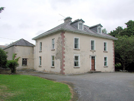 Brookfield Housefarm house · 777 yd
 IndicatedFairy fort / earthen ringfort · 896 yd
 Teach AllaisSweathouse · 1233 yd
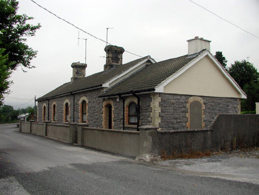 Manorhamilton Railway Stationrailway station · 1445 yd
 The Giants GraveArchaeological place · 1.8 mi
 Giants RockNamed rock · 2.1 mi
 Kilroosk RockNamed rock · 2.7 mi
 Dough MountainMountain / peak · 2.8 mi
 Saddle HillMountain / peak · 3.1 mi
 Ashisland WoodForest · 3.5 mi
 Longhill WoodForest · 3.8 mi
 Castle CarCastle · 4.4 mi