What is recorded here
Moneensauran holds a faded ringfort where a wide low bank still surrounds a forty-metre circular space. Road building cut through its northern edge and a field bank now crosses the middle, but the western slope remains clear enough to show the shape of an old defended home. People may have lived there, buried their dead or simply avoided the place because fairy forts forbid ordinary use.
Not marked on any OS ed. Raised circular area (int. diam. c. 40m) enclosed by a very wide but low earthen bank and the remains of a fosse, best preserved at NW. N portion of site destroyed as a result of road building in the early decades of this century and further divided by a field bank running NE-SW. Original entrance not recognisable.
The above description is derived from the published 'Archaeological Inventory of County Cavan' (Dublin: Stationery Office, 1995). In certain instances the entries have been revised and updated in the light of recent research.
Date of upload/revision: 22 December 2008
The monument record does not grant public access. Check the route and ask the landowner before entering private land.
- What survives
- Recorded monument
Places near here
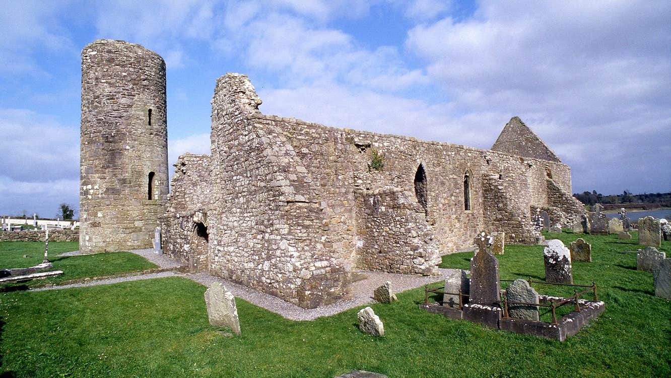 Moneensauran Cuilcagh Anierin Uplands Special Area of ConservationNature reserve · 772 yd
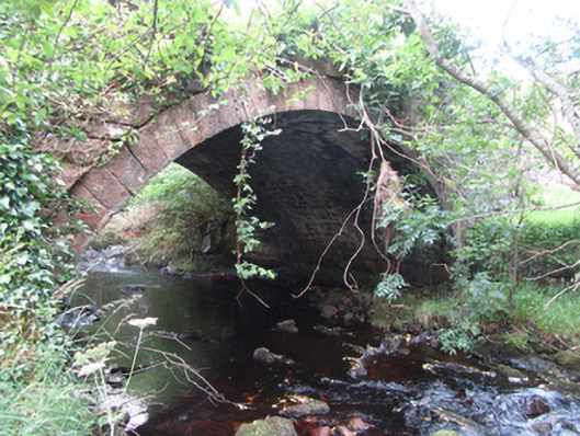 Carty’s Bridgebridge · 1655 yd
 IndicatedFairy fort / stone ringfort · 1.1 mi
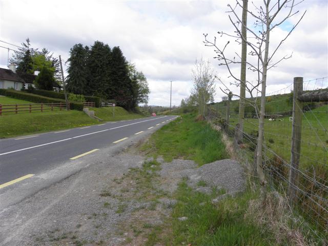 Derrynananta LowerMountain / peak · 1.3 mi
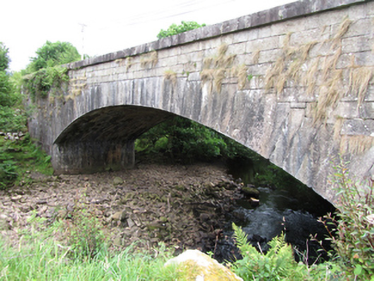 bridgebridge · 1.3 mi
 ArdvaghMountain / peak · 1.7 mi
 Crofton's HillForest · 1.8 mi
 Foxes CaveCave · 1.9 mi
 CarrignahastaCliff · 2.1 mi
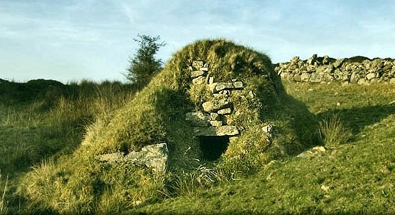 Sweathouse in GowlatSweathouse · 2.5 mi
 PlaygroudCliff · 2.6 mi
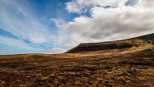 CuilcaghMountain / peak · 3.7 mi