What is recorded here
Moneenagunnell holds a broken ring on an east-west ridge where wet land gathers to the west and fields radiate like spokes from a forgotten wheel. Its earth and stone bank still stands two metres high through the south, while the northern part has flattened into a shallow scar that rain and grazing have worn smooth. The fairies may have taken the top stones, but they left behind a wide circular shadow large enough for herds, hearths and every kind of human noise.
Situated on a natural ridge running E-W with poorly drained low-lying land to the W and undulating land to the S. Partially destroyed ringfort consisting of a circular area (diam 64m N-S) enclosed by an earth and stone bank ( Wth 2m; ext. H 2m avg.; int. H 1m) from NE through S to SW which is reduced to a barely visible scarp from SW through N to NE with external fosse (Wth 3 - 4m) best preserved at S with no evidence of an entrance feature. Field fences radiate out from the ringfort.
The above description is derived from the published 'Archaeological Inventory of County Offaly' (Dublin: Stationery Office, 1997). In certain instances the entries have been revised and updated in the light of recent research.
Date of upload: 23 May 2011
The monument record does not grant public access. Check the route and ask the landowner before entering private land.
- What survives
- Recorded monument
Places near here
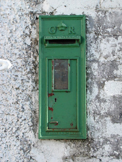 post boxpost box · 686 yd
 IndicatedEnclosure · 753 yd
 Burial in Faddan BegBurial · 777 yd
 Kilcummin Ho.Castle, unclassified · 1298 yd
 Clonony CastleCastle, tower house · 1.0 mi
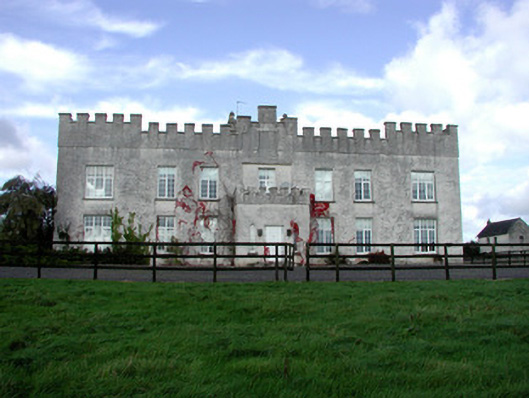 Belmont Housecountry house · 1.1 mi
 St. Saran's WellSpring · 1.2 mi
 Kilbeg WoodWood · 2.0 mi
 LehinchIsland · 2.6 mi
 InchinaskeaghIsland · 2.9 mi
 Cloghan HillMountain / peak · 3.2 mi
 Lug Holy WellSpring · 4.0 mi