What is recorded here
No fairy fort in Moneen. That is a mislabel. The facts describe an earthen ringfort: a roughly circular enclosure, 24 metres north to south, with a low remaining bank and a possible outer ditch on the west. It sits on an east-facing slope in pasture, near Fermoy in County Cork, with an unclassified megalithic tomb about sixty metres south in the same field. People may have lived, worked or kept animals there long before the fairy name stuck. The ground still holds the shape of that choice.
In pasture, on E-facing slope. Roughly circular area (24m N-S) enclosed by low remains of earthen bank (int. H 0.6m; ext. H 0.5m). Possible remains of external fosse to W. Interior slopes down to E. Unclassified megalithic tomb (CO027-068---) in same field c. 60m to S.
The above description is derived from the published 'Archaeological Inventory of County Cork. Volume 4: North Cork' (Dublin: Stationery Office, 2000). In certain instances the entries have been revised and updated in the light of recent research.
Date of upload/revision: 14 January 2009
The monument record does not grant public access. Check the route and ask the landowner before entering private land.
- What survives
- Recorded monument
Places near here
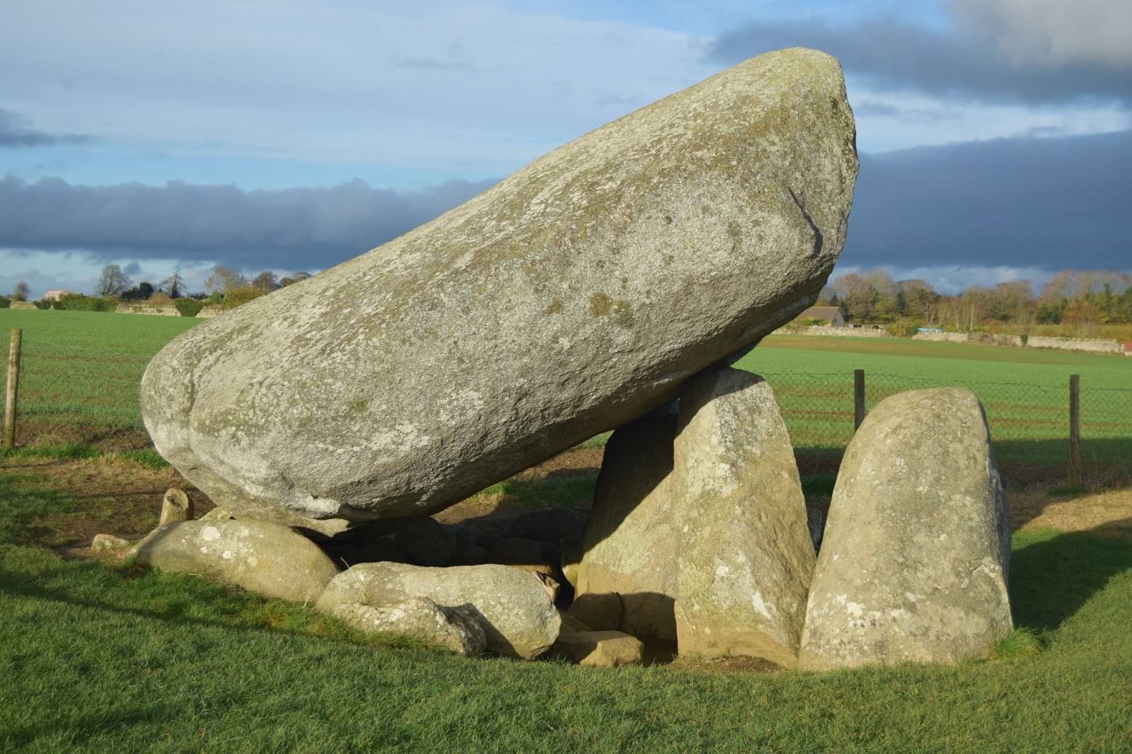 DolmenCist · 81 yd
 Burial in Moneen (fermoy By.)Burial · 687 yd
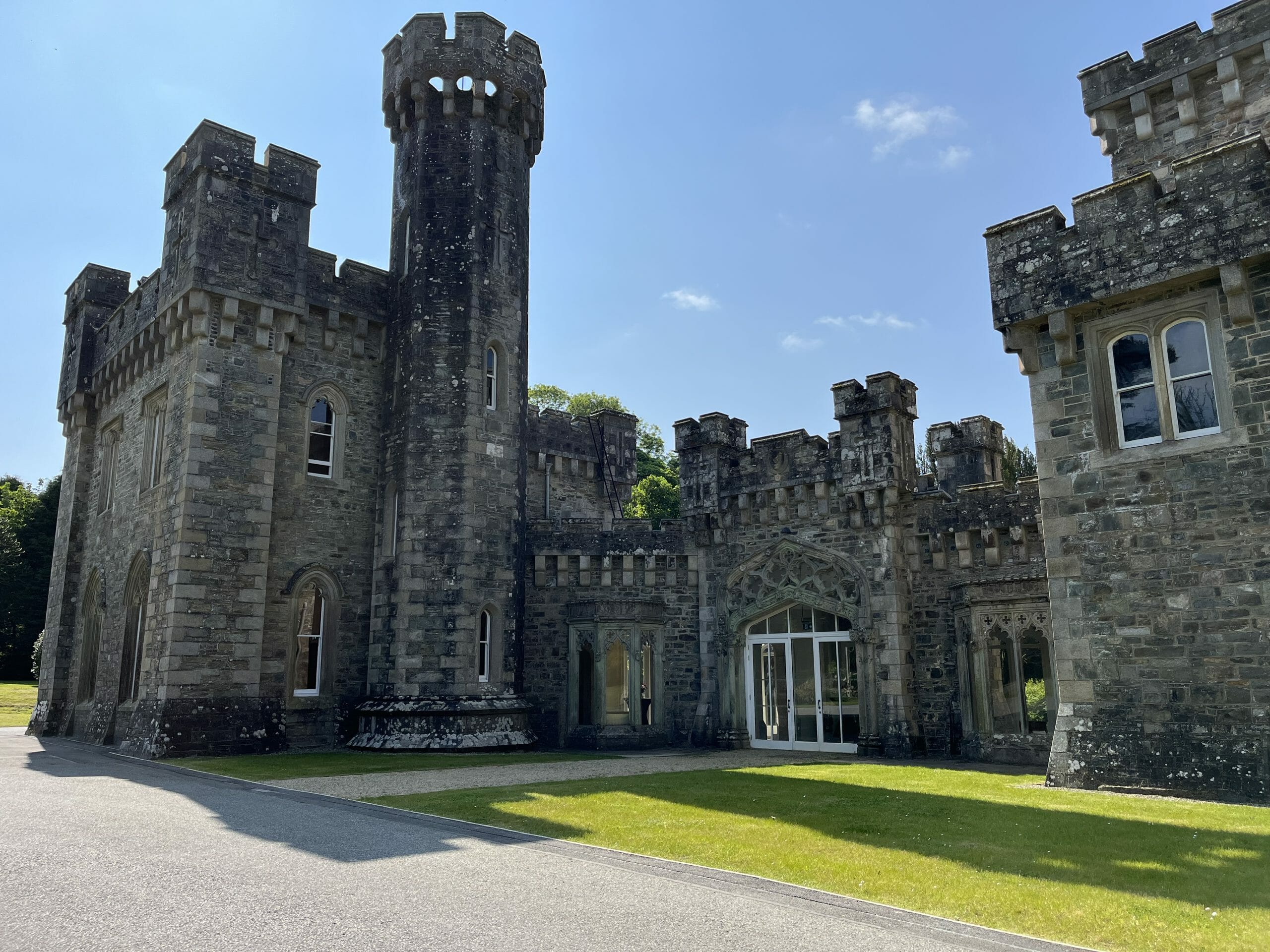 CastleCastle, unclassified · 1715 yd
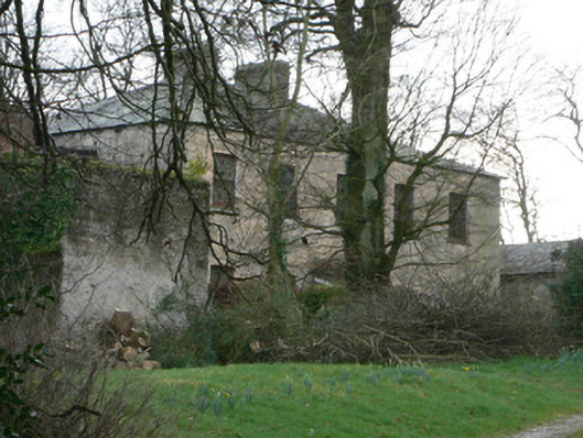 The Rectoryrectory/glebe/vicarage/curate's house · 1.2 mi
 Templealour (in Ruins)Church · 1.2 mi
 Graveyard in BoherashGraveyard · 1.3 mi
 Glanworth CastleCastle · 1.4 mi
 St Dominick's WellSpring · 1.4 mi
 Blackwater (Avondhu) WayWalking route · 2.6 mi
 Johnson's WoodForest · 3.0 mi
 Priest's WoodForest · 3.1 mi
 Anne's Grove GardensHeritage attraction · 3.9 mi