
What is recorded here
At S end of Glanworth village, on edge of break in slope above steep drop to River Funshion to E. Ivy-clad stump of masonry (max. c. 1.5m E-W; c. 2.3m N-S; max. H c. 3m), immediately E of concrete shed and on S side of field boundary, only visible remains of church. 1842 OS 6-inch map appears to show this church c. 20 to SW (on site now occupied by grain warehouse); depicted as small rectangular structure (c. 7m WSW-ENE; c. 4m NNW-SSE) and labelled 'Grave Yd. (Site of)' and 'Templealour (in Ruins)'. Photograph of 1912, (Grove White 1905-25, vol. 3, opp. 132) shows stump as it is to-day, though Power (1932, 61) described church as of 'one compartment only, but...strongly built ... walls (Wth 3ft) battered externally, standing to height 4-5ft except on corner (H 8ft)'; this may be description of structure shown on 1842 OS 6-inch map. Power (ibid.) translates name, Teampull an Lobhair, as 'Church of the Lepers'.
The above description is derived from the published 'Archaeological Inventory of County Cork. Volume 4: North Cork' (Dublin: Stationery Office, 2000). In certain instances the entries have been revised and updated in the light of recent research.
Date of upload/revision: 14 January 2009
The monument record does not grant public access. Check the route and ask the landowner before entering private land.
- What survives
- Recorded monument
Places near here
 Grave Yd (Site of)Graveyard · 15 yd
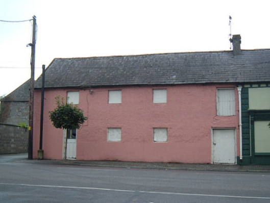 store/warehousestore/warehouse · 185 yd
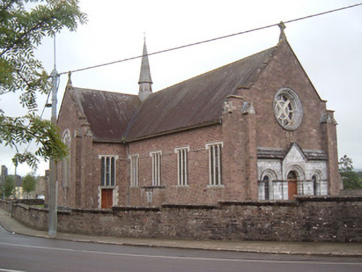 Catholic Church of the Holy Crosschurch/chapel · 198 yd
 Glanworth CastleCastle · 453 yd
 Glanworth Castle (in Ruins)Castle, Anglo-Norman masonry castle · 460 yd
 Graveyard in BoherashGraveyard · 613 yd
 St Dominick's WellSpring · 630 yd
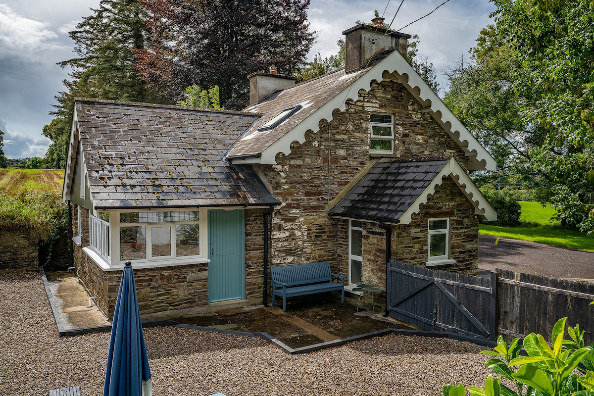 Hut site in BoherashHut site · 724 yd
 Blackwater (Avondhu) WayWalking route · 3.7 mi
 Johnson's WoodForest · 4.0 mi
 Priest's WoodForest · 4.1 mi
 Flat cemetery in Ballyenahan NorthFlat cemetery · 4.2 mi
Other information
Photo: Credit not shown in the picture search · Rights wording not checked; contact us if this picture should be removed