What is recorded here
Moneen East held a forty-metre earthen ring beside a barrow, but a plough erased the fort in 1966. Maps from 1838 still point to a cave inside the vanished circle, preserving a shape the pastureland has already forgotten. The earth took back what the people built, leaving only a coordinate and a story about loss.
In level pastureland. Marked on the OS 6-inch maps as a roughly circular enclosure (diam. c. 40m). A ‘Cave’ (GA114-128001-) is marked in the interior on the 1838 edition of the map. The monument was ploughed out in 1966 (pers. comm. E. Rynne) and no visible surface trace survives. A barrow (GA114-129----) lies c. 50m to the W.
Compiled by: Galway Archaeological Survey, UCG
Date of upload: 26 February 2018
The monument record does not grant public access. Check the route and ask the landowner before entering private land.
- What survives
- Recorded monument
Places near here
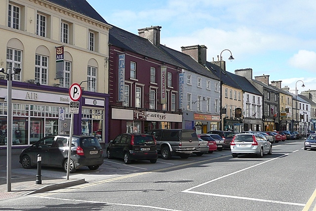 IndicatedEnclosure · 1171 yd
 Enclosure in Grannagh (loughrea By.)Enclosure · 1318 yd
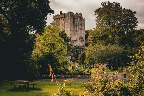 Bawn in CastleparkBawn · 1.1 mi
 Cloghroak Castle (in ruins)Castle, tower house · 1.4 mi
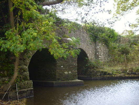 bridgebridge · 1.6 mi
 Castleboyfolly · 1.7 mi
 HawthornHawthorn · 3.8 mi
 European ashEuropean ash · 3.8 mi
 Drumharsna CastleHeritage attraction · 4.2 mi
 KnockapollboyMountain / peak · 5.4 mi
 Mulroney's IslandIslet · 8.3 mi
 MweenisharanIslet · 8.6 mi