What is recorded here
Mondellihy holds two conjoined earthen rings, one north and one south, where stone-faced banks still trace the shape of human hands. The southern ring has been flattened into a gentle ramp, yet the northern bank rises enough to suggest a boundary drawn deliberately. Cattle graze the pasture above the scarps, unaware that they walk across a place people shaped before maps existed.
In pasture on slight E-facing slope, moderate views in all directions, 8m N of the townland boundary with Gortaganniff, ringfort (LI021-011002----) to the immediate N. Westropp described the conjoined ringforts as following “Mondellihy Rings…They lie north and south and consist of two earthen rings, one stone-faced and capped with dry stone walls’ (Westropp 1921, 183). Present remains consist of a slightly raised circular-shaped area (dims. 24m N-S; 22m E-W) defined by an earth and stone bank mainly reduced to a scarp (Wth 1.8m; H 0.4m) that has been levelled from N to E and a ramp (Wth. 4m) across scarp at S. Poorly preserved monument visible on Google Earth image taken 2018.
See attached Google Earth orthoimages
Compiled by: Fiona Rooney
Date of upload: 9 July 20202
A fairy fort or earthen ringfort in Mondellihy, likely an early-medieval agricultural or defensive site, is associated with local folklore of faeries and other supernatural beings common to Irish tradition. Westropp noted its proximity to another ringfort, suggesting a possible territorial or social connection between the two sites.
The monument record does not grant public access. Check the route and ask the landowner before entering private land.
- What survives
- Recorded monument
Places near here
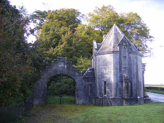 Adare Manorgate lodge · 379 yd
 European BeechEuropean Beech · 530 yd
 Grave YardGraveyard · 537 yd
 Adare Church (in Ruins)Church · 564 yd
 European YewEuropean Yew · 579 yd
 Desmonds Castle (in ruins)Castle, Anglo-Norman masonry castle · 676 yd
 Desmond CastleHeritage attraction · 684 yd
 Adare Desmond CastleMedieval castle · 687 yd
 CastleCastle, tower house · 1197 yd
 Adare Tourist OfficeVisitor information · 1466 yd
 Flat cemetery in Kiltenan SouthFlat cemetery · 4.1 mi