What is recorded here
Mondaniel holds two large polygonal lioses, now reduced to a broad raised patch and an overgrown earthen fence on a west-facing slope. Cattle graze where people once drew a boundary, and the field has forgotten the shape of its own heart. What remains is not a ruin but a rhythm: a line of soil, a hollow, a living surface that keeps the old division without remembering it.
In pasture, on W-facing slope. Shown on 1842 OS 6-inch map as circular enclosure cut across by NE-SW field fence. Levelled; raised area (40m N-S; 35m E-W) in field. Overgrown earthen field fence NNE->SE may be remains of original outer bank. Possible trace of fosse between raised area and fence. According to Power (1923, 191) 'There were two large lioses, both polygonal in plan....' Possible ringfort (CO044-008---) c. 240m to W.
The above description is derived from the published 'Archaeological Inventory of County Cork. Volume 2: East and South Cork' (Dublin: Stationery Office, 1994). In certain instances the entries have been revised and updated in the light of recent research.
Date of upload/revision: 14 January 2009
The monument record does not grant public access. Check the route and ask the landowner before entering private land.
- What survives
- Recorded monument
Places near here
 IndicatedHouse, vernacular house · 246 yd
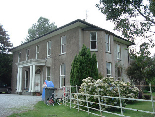 Terramount Housecountry house · 959 yd
 Enclosure in RathcormackEnclosure · 1.1 mi
 Hearth in CorrinHearth · 1.1 mi
 Corrin WoodsWood · 1.8 mi
 Pope's WellSpring · 1.8 mi
 Barrymore Castle or Castle LyonsHouse, fortified house · 1.8 mi
 Tower (in Ruins)Bawn · 1.8 mi
 Ballybrack WoodForest · 2.2 mi
 Graveyard in FermoyGraveyard · 3.2 mi
 Tourist InformationVisitor information · 3.2 mi
 Kent BridgeMemorial · 3.2 mi