What is recorded here
Fairy forts in County Limerick still stand as broken rings in pasture, and Monavaha is no exception. Cattle have worn the bank flat in places, yet large stones remain set edge-to-edge along part of the circle. The field looks ordinary until dusk, when the shape stops behaving like a mistake and begins behaving like a room.
In pasture, on gentle N-facing hill slope. Oval area (28m N-S; 21.2m E-W) enclosed by earth-and-stone bank (int. H 0.25m; ext. H 1.8m) best preserved at NNW but lowers at S (ext. H 0.4m). Bank, heavily masked by overgrowth, has several large stones lying edge-to-edge for c. 5m SW->W. In general bank has suffered erosion from cattle accessing interior. Break in bank (Wth 2m) at SSE. Flat interior is under rough pasture, and used as a shelter area for cattle. Loose stones scattered along verge probably derive from stone facing on bank.
Compiled by: Denis Power
Date of upload: 26 August 2011
The monument record does not grant public access. Check the route and ask the landowner before entering private land.
- What survives
- Recorded monument
Places near here
 Kilmoylan Church (in ruins)Church · 570 yd
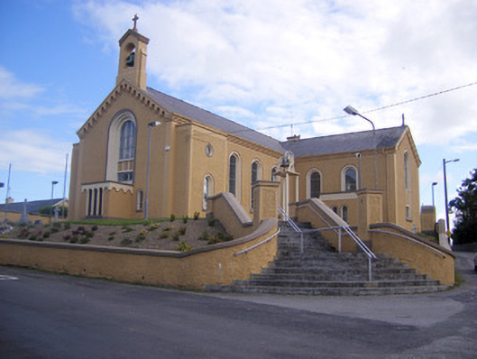 Saint Senan's Catholic Churchchurch/chapel · 719 yd
 Enclosure in ParkmoreEnclosure · 1356 yd
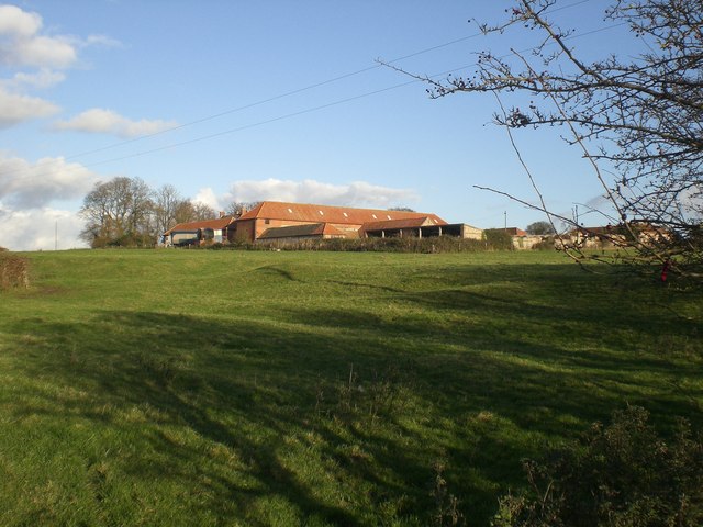 Settlement desertedSettlement deserted, medieval · 1494 yd
 Site of CastleCastle, unclassified · 1683 yd
 CastleCastle, unclassified · 1.1 mi
 Foynes Flying Boat & Maritime MuseumMuseum · 3.2 mi
 Foynes Island ViewpointViewpoint · 3.4 mi
 Gammarel PointHeadland · 3.6 mi
 Monterey CypressMonterey Cypress · 3.9 mi
 Foynes IslandIsland · 3.9 mi
 Battery PointHeadland · 4.1 mi