What is recorded here
Fairy forts are human raths misnamed by folklore, often holding buried chambers or forgotten domestic life. In Monanny, a bivallate rath measured ninety by seventy-six metres externally, with possible entrances at the north and south. The 1834 map called it a fort in gothic lettering, while later surveys revealed its true double-banked scale beneath pasture and cropmarks.
Located at the SE tip of NW-SE spur. A large embanked enclosure (diam. c. 40m) is depicted on the 1834 edition of the OS 6-inch map where it is described in gothic lettering as a 'fort'. Faint traces of a circular enclosure (diam. c. 28m) are visible as a low bank (Wth 3.2m; H 0.1m) and fosse (Wth of top 3.6m; D 0.3m) in pasture NW-NE. It is visible as a cropmark defined by two fosse features on the OSi aerial images (1995).
A gradiometer and resistance survey was carried out in 2001 as part of the desk based assessment work for the N2 Carrickmacross-Aclint Road Realignment. This demonstrated that it as a bivallate rath measuring c. 90m x 76m externally and 54m x 46m internally with possible entrances at the N and S. (Walsh 2004d, 1)
The above description is derived from the published 'Archaeological Inventory of County Monaghan' (Dublin: Stationery Office, 1986). In certain instances the entries have been revised and updated in the light of recent research.
Date of revision: 28 July 2017
The monument record does not grant public access. Check the route and ask the landowner before entering private land.
- What survives
- Recorded monument
Places near here
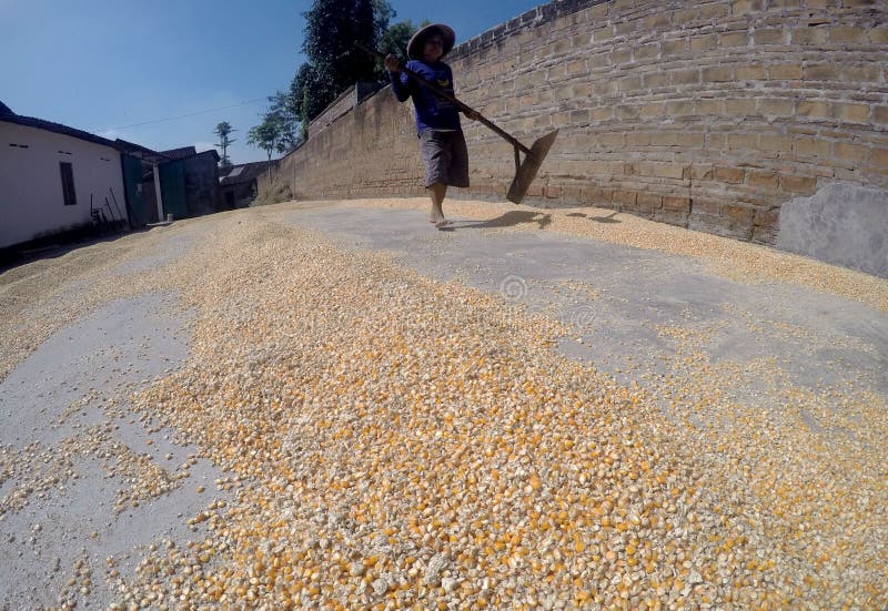 KilnKiln, corn-drying · 178 yd
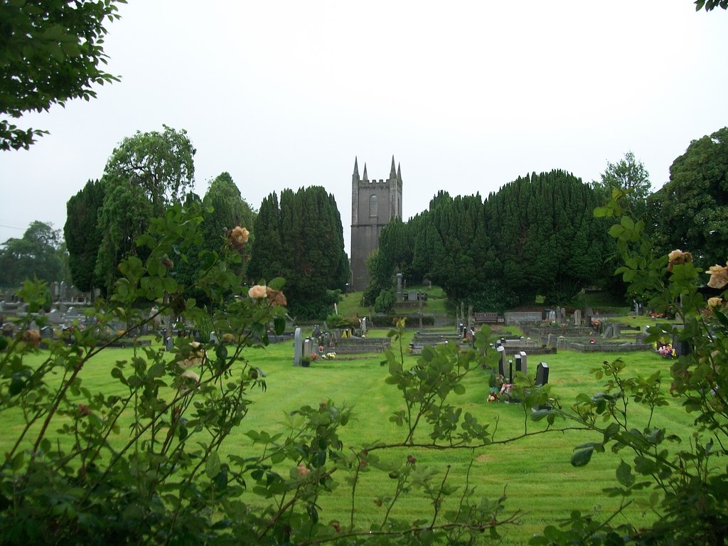 Burial ground in Cloghvally LowerBurial ground · 308 yd
 Fin McCools TableMegalithic tomb · 1456 yd
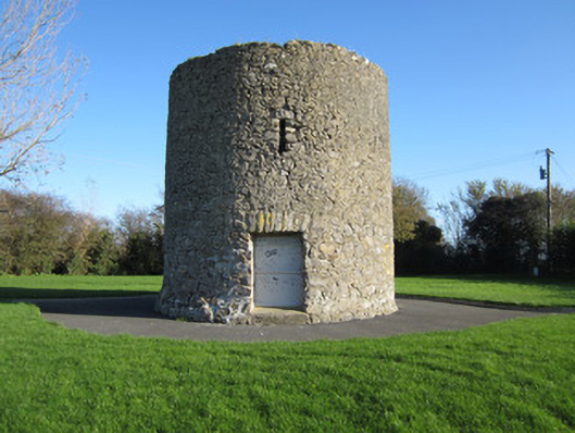 Gallows Hill Windmillmill (wind) · 1489 yd
 Horse-chestnutHorse-chestnut · 1.1 mi
 Mannan Castle (in ruins)Castle, Anglo-Norman masonry castle · 1.4 mi
 European BeechEuropean Beech · 1.9 mi
 TobernagalliaghSpring · 2.2 mi
 Drumerlough MoreMountain / peak · 4.9 mi
 KnockreaghMountain / peak · 5.2 mi
 Flat cemetery in AnnaheanFlat cemetery · 5.3 mi
 Gully IslandIslet · 5.6 mi