What is recorded here
That is not a fairy name. It is a human fort, a ring of earth and exclusion, maybe a farmstead or a refuge. The fairies are the later joke, the human shape forgotten. Under the grass in Momony, a circle still holds. People made it, lived beside it, stopped seeing it, and the story refill the hole with sparks. Measure the ditch before you laugh. The ditch is the witness.
Situated in a low-lying position between drumlins. A circular earthwork is depicted on McCrea’s map of County Monaghan (1793) south of the W-E road from Drumlusty. It is not marked on later OS maps but the monument is visible as a vegetation mark of a circular enclosure (diam. c. 25m) defined by a single fosse feature on aerial images (OSAP 1995).
Date of revised upload: 12 December 2017
The monument record does not grant public access. Check the route and ask the landowner before entering private land.
- What survives
- Recorded monument
Places near here
 Not indicaetdMan-made underground passage · 393 yd
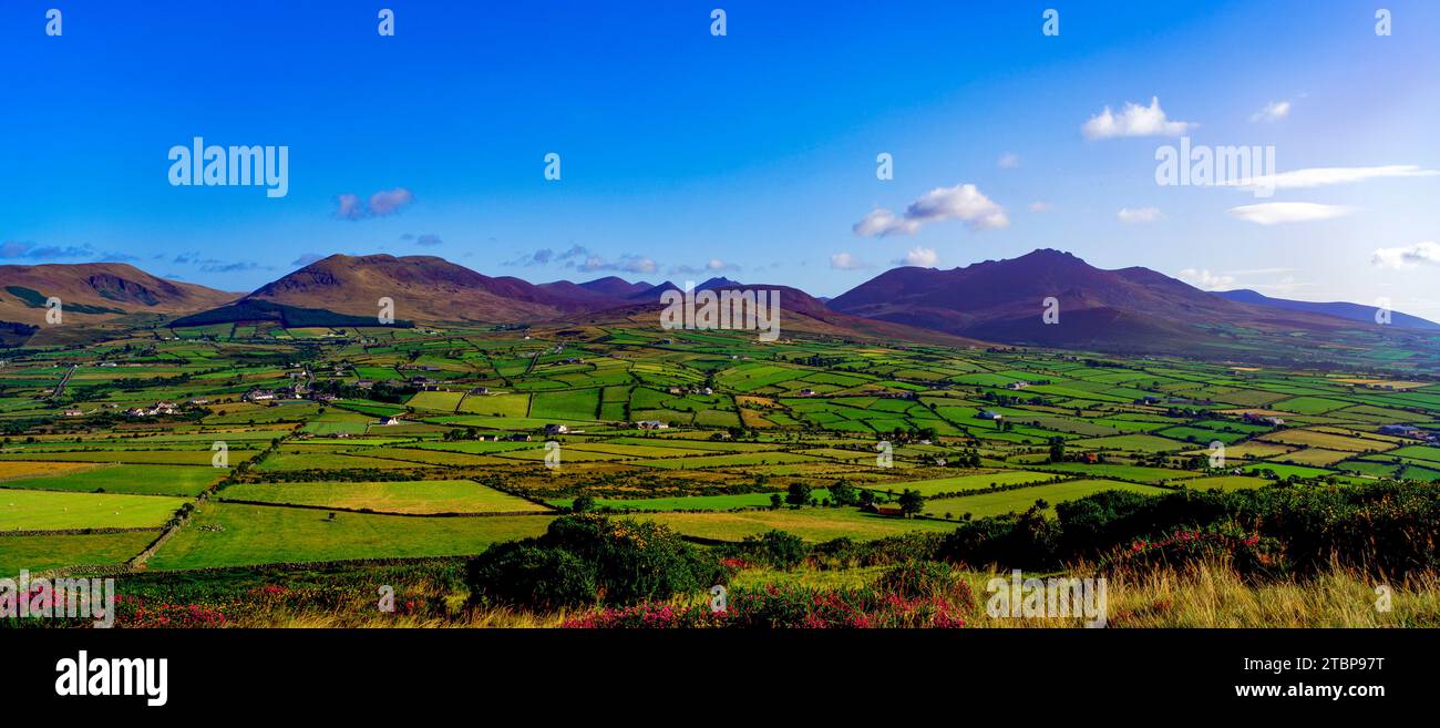 Man-made underground passage in MomonyMan-made underground passage · 437 yd
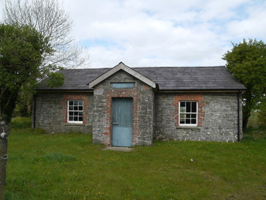 Drumlusty National Schoolschool · 1665 yd
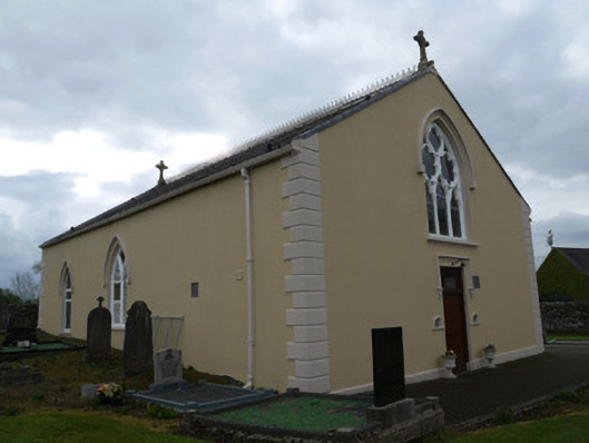 Saint Anne's Catholic Churchchurch/chapel · 1679 yd
 Mannan Castle (in ruins)Castle, Anglo-Norman masonry castle · 2.5 mi
 TobernagalliaghSpring · 3.9 mi
 Horse-chestnutHorse-chestnut · 4.0 mi
 European BeechEuropean Beech · 4.5 mi
 CastleCastle, motte and bailey · 4.6 mi
 KnockreaghMountain / peak · 4.6 mi
:no_upscale()/cdn.vox-cdn.com/uploads/chorus_asset/file/25593391/County_Louth_6th.jpg) LouthMountain / peak · 5.6 mi
LouthMountain / peak · 5.6 mi Ballsmill Amenity LandPicnic place · 7.3 mi