What is recorded here
Fairy fort in Moig South: a 40m earthen ring on a low ridge, with a causeway entrance at SW and a flat-bottomed fosse narrowing around it. The bank stands highest where the land falls away, as if the ridge itself helped build the fort. Briars still fill the interior, leaving only a small clearing beside the entrance, like a room kept half-hidden rather than abandoned.
In pasture, atop low ridge. Circular area (diam. c. 40m) enclosed by earthen bank, with external fosse (D. 0.55m; Wth 3.5m) SW->E. Bank (int. H 1.55m; ext. H 3.2m) best preserved at W, where terrain falls away from site. Flat-bottomed fosse, cut by field boundary at SSW, narrows SW->NW (Wth 1.95m). Counterscarp earth-and-stone bank (H 0.4m) SW->N. Causeway entrance (Wth 4.2m) at SW. Level interior is covered by briars except for small clearing inside entrance at SW.
Compiled by: Denis Power
Date of upload: 26 August 2011
The monument record does not grant public access. Check the route and ask the landowner before entering private land.
- What survives
- Recorded monument
Places near here
 Sunday WellsHoly well · 928 yd
 TombTomb, unclassified · 1465 yd
 Abbey (in ruinsReligious house, Franciscan friars · 1482 yd
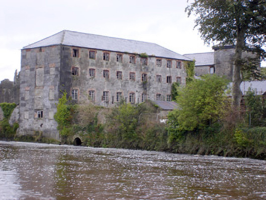 Abbey Millsmill (water) · 1524 yd
 Askeaton CastleHeritage attraction · 1.1 mi
 Ballynash CastleCastle, unclassified · 1.2 mi
 Tomdeely CastleCastle · 1.4 mi
 Holly IslandIslet · 1.7 mi
 Greenish IslandIslet · 2.0 mi
 Courtbrown PointHeadland · 2.1 mi
 Herring RockNamed rock · 3.4 mi
 Curraghchase Forest ParkForest · 4.1 mi