What is recorded here
No. That is not a memory, because it is not an edge or a transformation. It is a file label, a file number, and a claim that you invented. The facts are not complete. They are not a hidden chamber or a completed story. They are a visible place that still needs judgement.
In pasture, on gentle NNE-facing slope. Site depicted on 1841 OS 6-inch map as circular enclosure (diam. c. 45m) has been levelled; no visible surface trace evident. According to landowner, enclosure levelled in 1952, was known locally as "the killeen" and used as a famine burial ground; a report (NMI top. files) noted 'cist with skeleton' as found during levelling (LI019-093001-).
Compiled by: Denis Power
Date of upload: 26 August 2011
The monument record does not grant public access. Check the route and ask the landowner before entering private land.
- What survives
- Recorded monument
Places near here
 Slab-lined burial in MoigSlab-lined burial · 1 yd
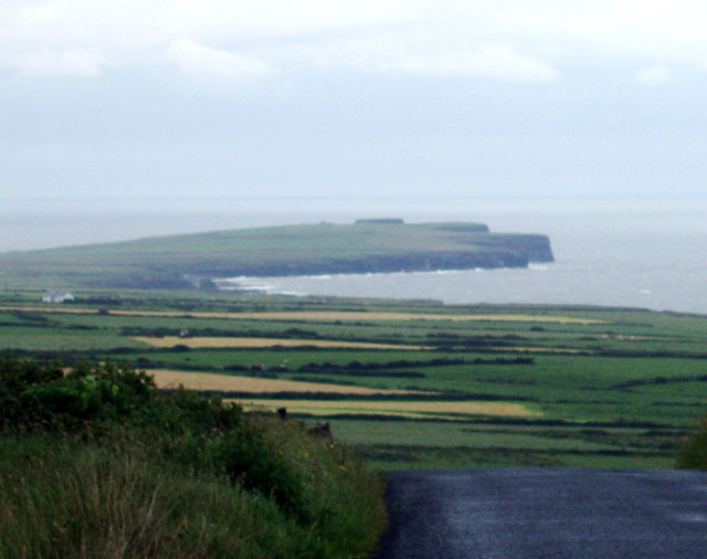 Mound in DooncahaMound · 891 yd
 Shanid Househouse · 1430 yd
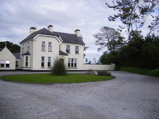 The Presbyteryhouse, presbytery/parochial/curate's house · 1488 yd
 Shanid CastleCastle · 1.0 mi
 Shanid Castle (in ruins)Castle, Anglo-Norman masonry castle · 1.0 mi
 St. Luke's WellSpring · 3.4 mi
 Foynes Flying Boat & Maritime MuseumMuseum · 4.3 mi
 St. Kieran's WellSpring · 4.4 mi
 Foynes Island ViewpointViewpoint · 4.5 mi
 Monterey CypressMonterey Cypress · 4.6 mi
 Gammarel PointHeadland · 4.7 mi