What is recorded here
Double earthen banks and a deep fosse still circle Moherloob, marking a substantial ringfort rather than a fleeting fairy tale. Its northeast entrance preserves a stone-lined break and causeway, guiding entry across the ditch with deliberate clarity. People may have lived, argued, buried, or worshipped inside that shallow circle while outside the world changed. The field boundaries that replaced part of the outer bank did not erase the shape; they admitted it into ordinary use.
Raised subcircular area (int dims 42.7m NE-SW; 38m NW-SE) enclosed by two substantial earthen banks with intervening wide, deep fosse. Outer bank survives only from SW-W-NNW and has been replaced elsewhere by field boundaries. Stone-lined break in internal bank with accompanying causeway at NE represents original entrance.
The above description is derived from the published 'Archaeological Inventory of County Cavan' (Dublin: Stationery Office, 1995). In certain instances the entries have been revised and updated in the light of recent research.
Date of upload/revision: 22 December 2008
The monument record does not grant public access. Check the route and ask the landowner before entering private land.
- What survives
- Recorded monument
Places near here
 IndicatedFairy fort / stone ringfort · 1241 yd
 ToberpatrickHoly well · 1565 yd
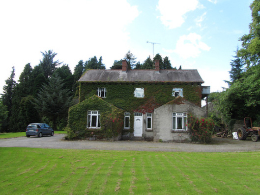 Brackley Househouse · 1623 yd
 Tawnagh ForestForest · 1.0 mi
 Brackley ForestForest · 1.0 mi
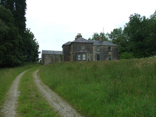 Tircahan Lodgefarm house · 1.2 mi
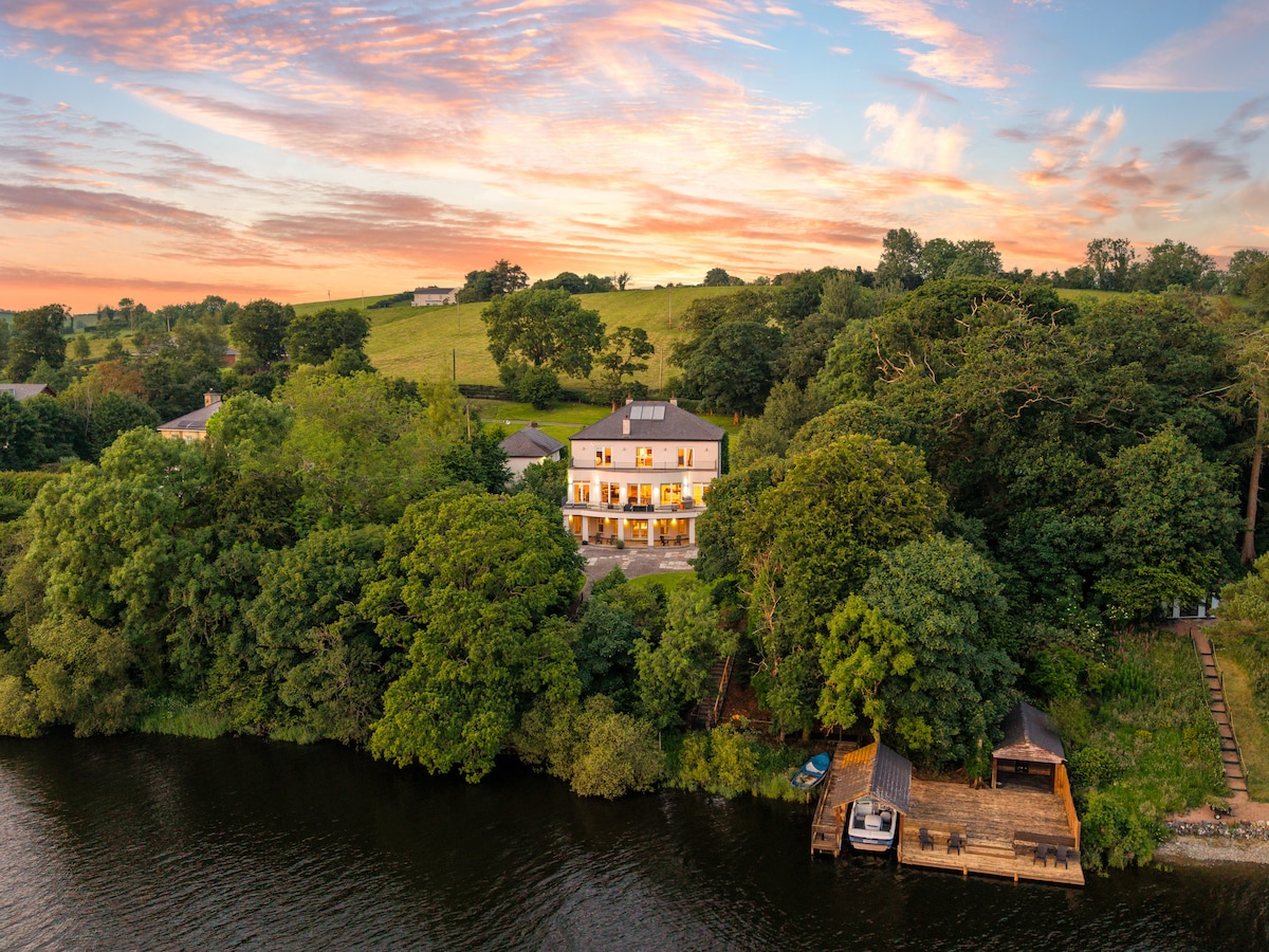 Baron's IslandIslet · 1.2 mi
 Out-Doors and DirtyHeritage attraction · 1.2 mi
 PolldooCave · 1.3 mi
 BrackleyMountain / peak · 1.4 mi
 Prospect BayBay · 1.4 mi
 Tory HoleCave · 1.4 mi