What is recorded here
Five earthen rings still mark Mogeely Lower, three clustered southeast and two near the western edge. Bateman drew them in 1716, but they predate his pen by centuries. People may have lived inside them, raised fences, buried dead or simply pointed children toward them when storms came. The land kept their shape long after memory faded.
Symbols on Bateman map (1716-1717, no. 29 and 31) for five ringforts; three grouped together in SE quadrant of townland; remaining two (one of which is CO046-006---) short distance to NW, close to W townland boundary.
The above description is derived from the published 'Archaeological Inventory of County Cork. Volume 2: East and South Cork' (Dublin: Stationery Office, 1994). In certain instances the entries have been revised and updated in the light of recent research.
Date of upload/revision: 14 January 2009
The monument record does not grant public access. Check the route and ask the landowner before entering private land.
- What survives
- Recorded monument
Places near here
 Frankfort Housecountry house · 445 yd
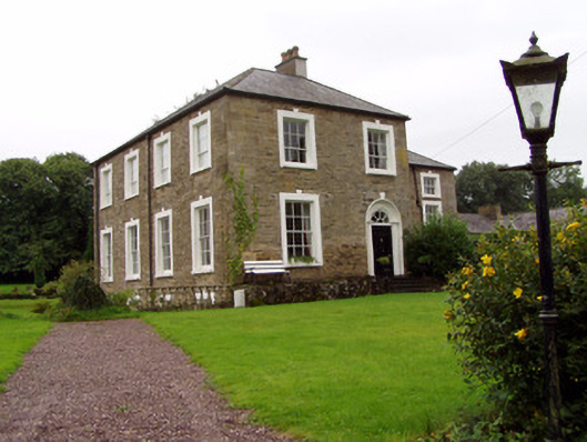 Lisnabrin Lodgecountry house · 504 yd
 Settlement desertedSettlement deserted, medieval · 1101 yd
 Mogeely CastleCastle · 1200 yd
 Graveyard in Curraheen (kinnatalloon By.)Graveyard · 1.1 mi
 Fulacht fia in GlasshouseFulacht fia · 1.2 mi
 CastleCastle, unclassified · 1.3 mi
 Castlebrook forestWood · 1.6 mi
 Tallow HillMountain / peak · 3.2 mi
 Aghern CemeteryWood · 3.7 mi
 Salt HillMountain / peak · 4.2 mi
 Mocollop Picnic SitePicnic place · 4.6 mi