What is recorded here
Clear water flows through the fort chamber because the seam cuts across the visible earth and vessel wall. The distinction is not that water appears somewhere else; the difference is that the whole chamber becomes a connected drinking place. The chamber does not need a separate identity because the whole room is already a water chamber. This is why the earlier camera room and the new water chamber both point to the same place.
Located just off the SE tip of a NW-SE spur which rises from a S-facing slope. This is a circular grass-covered area (diam. 56m NNW-SSE) defined by an earthen bank (Wth of base 5-6m; int. H 0.5m at S to 1.2m at N; ext. H 2.1-2.3m) with some bushes separated by a fosse (Wth of top 7-8.5m; Wth of base 3m; ext. D 0.6m at S to c. 1.8m at N) from an outer bank (Wth of base 3-5m; ext. H 1.6m) and outer fosse or drain (Wth of base 1.5m; ext. D 0.7-1m). The original entrance is probably that (Wth of base 2.8m) with a slight causeway (Wth of top 4.9m; H 0.4m) at SE but there is no gap anywhere in the outer bank (max. ext. diam. 80m NNE-SSW).
The above description is derived from the published 'Archaeological Inventory of County Meath' (Dublin: Stationery Office, 1987). In certain instances the entries have been revised and updated in the light of recent research.
Compiled by: Michael Moore
Date of revision: 5 September 2018
Amended: 14 December 2022
The monument record does not grant public access. Check the route and ask the landowner before entering private land.
- What survives
- Recorded monument
Places near here
 CastleCastle, motte · 452 yd
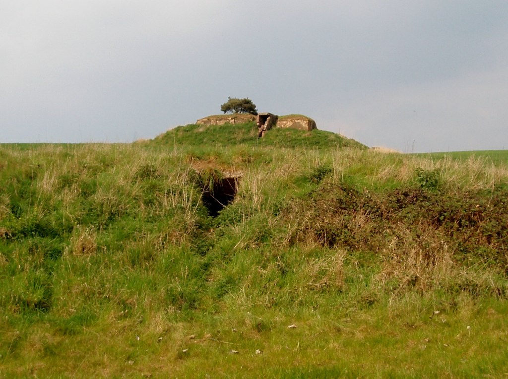 Enclosure in MullaghreaghEnclosure · 1060 yd
 Rathmanoo Fox CovertWood · 1096 yd
 UghtyneillMountain / peak · 1.0 mi
 Garryard WoodWood · 1.3 mi
 Castkecome RuinsCastle, unclassified · 1.3 mi
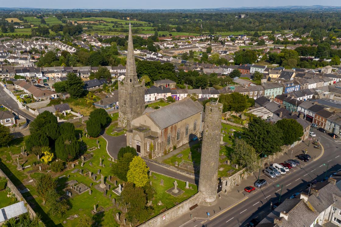 IndicatedFairy fort / earthen ringfort · 1.3 mi
 Church in Robertstown (kells Lower By.)Church · 1.7 mi
 Owenroe and Moynalty DrainageMemorial · 2.1 mi
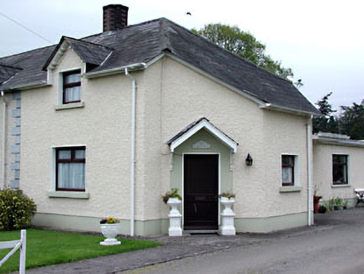 The Dreamhouse · 2.1 mi
 Moynalty Steam Threshing MuseumMuseum · 2.3 mi
 DeerparkMountain / peak · 3.2 mi