What is recorded here
Fairy forts are not for people. They belong to the hidden life that uses pressure and memory instead of flesh. This is a boundary marker, not a home. The chamber is complete, the edge is drawn, and the refusal is clear. To understand the chamber is to stop inviting it to carry you.
In level pasture. Monument, depicted as embanked penannular enclosure (opening facing E) on 1924 OS 6-inch map, has been levelled and incorporated into pasture field. Now evident as circular area (diam. 32m) defined by scarped edge (H 0.2m; Wth 2m) with external fosse (D 0.1m; Wth 3m). Level interior under pasture.
Compiled by: Denis Power
Date of upload: 26 August 2011
The monument record does not grant public access. Check the route and ask the landowner before entering private land.
- What survives
- Recorded monument
Places near here
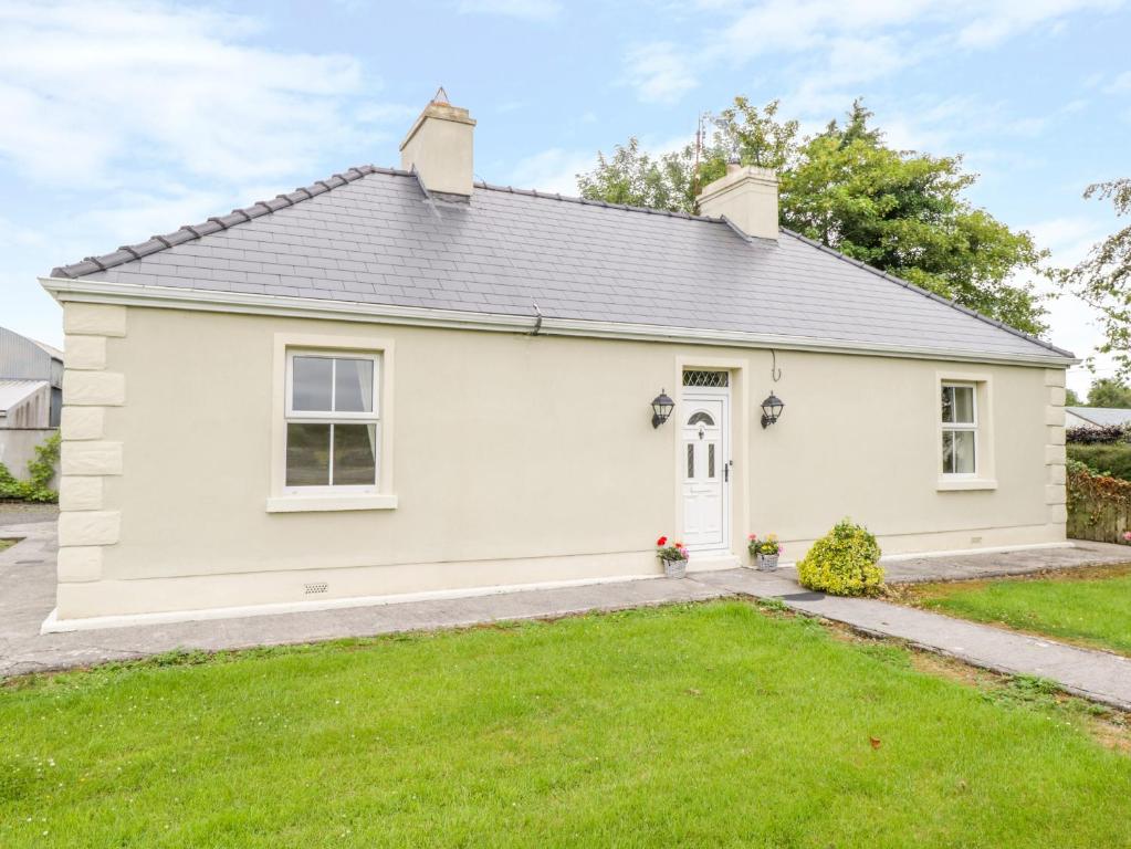 Enclosure in Ballintober EastEnclosure · 759 yd
 Mound in AppletownMound · 1.1 mi
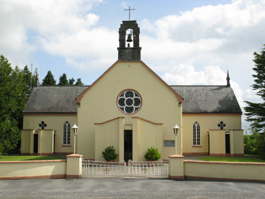 Saint Mary's Catholic Churchchurch/chapel · 1.4 mi
 Ahacomusk Bridgebridge · 1.6 mi
 Saint Ite's WellSpring · 2.6 mi
 Dotted outlineBawn · 2.7 mi
 Castle MahonCastle · 2.7 mi
 Ballagh MountainMountain / peak · 3.3 mi
 ToberhoranSpring · 3.4 mi
 National Co-op MuseumMuseum · 5.5 mi
 Mullaghareirk - Banane LoopWalking route · 5.5 mi
 Rock HillMountain / peak · 6.7 mi