What is recorded here
Fairy fort / earthen ringfort in Moanmore (Solloghodmore parish) is a fairy fort or earthen ringfort in Moanmore (Solloghodmore parish), County Tipperary, Ireland. In low-lying wet pasture, its circular raised area is about 25 metres across and defined by an earthen scarp about 3 metres wide and 1.5 metres high. A shallow outer ditch and an external earthen bank also enclose it from northeast to southwest. The outer bank is best preserved from northeast to south and very degraded from south to southwest. The inaccessible interior is densely overgrown, and the original entrance is not recognisable.
In low-lying gently undulating wet pasture. Circular raised area (diam. c. 25m) defined by an earthen scarp (Wth c. 3m; H c. 1.5m). At the external base of the scarp is a fosse (Wth at base c. 4m; D 0.1-0.3m) and an external earthen bank (Wth at top 3m; overall Wth 5.5m; int. H 0.4m; ext. H 0.3m). The external bank encloses the ringfort NE-SW and is best preserved NE-S being very degraded and barely visible at ground level S-SW. A modern field boundary lies along the line of the external bank NW-NE. A modern NNE-WSW orientated field drain links to the fosse at S. The original entrance is not recognisable. The interior is densely overgrown with bushes and is inaccessible.
Compiled by: Jean Farrelly
Date of upload: 26 August 2011
The monument record does not grant public access. Check the route and ask the landowner before entering private land.
- What survives
- Recorded monument
Places near here
 CastleCastle, ringwork · 954 yd
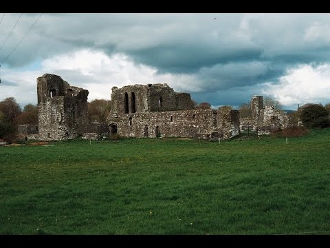 Earthwork in Ballybeg (coonagh By.)Earthwork · 1442 yd
 Enclosure in KnockphelaghEnclosure · 1482 yd
 IndicatedCastle, unclassified · 1.2 mi
 Saint Nicholas's Catholic Churchchurch/chapel · 1.2 mi
 Church in Ballyryan WestChurch · 1.2 mi
 Oola HillMountain / peak · 1.8 mi
 Soloheadbeg Ambush SiteMemorial · 2.3 mi
 The Maid of ErinMemorial · 4.3 mi
 European ashEuropean ash · 5.5 mi
 KnockseefinMountain / peak · 6.9 mi
 St. Patrick's WellSpring · 8.0 mi