What is recorded here
Half-buried in Ministown’s level fields, a 45-metre earthen ring keeps its old shape beneath the soil. A holy well sits at its north-east edge, as if the fort still marked the boundary between ordinary life and something older. People may have lived inside that circle, loved and argued and forgotten there before becoming a fairy fort in local memory.
Located on a fairly level landscape. The cropmark of a subcircular enclosure (ext. diam. c. 45m NW-SE) defined by a fosse feature E-S-NW is visible on Google Earth (06/06/2018; 27/06/2019). The perimeter is less certain NW-E and no entrance feature is visible. It is also faintly visible on Digital Globe (c. 2013) where three ditch features (int. diam. c. 25m) can be seen, and the W arc of a fosse cuts across the E part of the interior. The holy well (ME021-013----) is at the NE edge of the rath. It was first reported by Tom Condit.
Compiled by: Michael Moore
Date of upload: 10 October 2019
The monument record does not grant public access. Check the route and ask the landowner before entering private land.
- What survives
- Recorded monument
Places near here
 St. Columbkilles WellHoly well · 34 yd
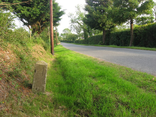 Enclosure in MinistownEnclosure · 511 yd
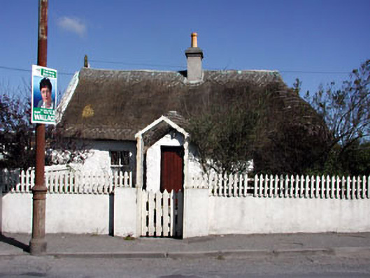 Suaimhneas Cottagehouse · 771 yd
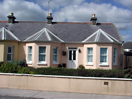 Killoran Cottagehouse · 838 yd
 RuinCastle, tower house · 1.5 mi
 Ballygarth CastleCastle · 1.5 mi
 Battle of Julianstownbattle · 1.9 mi
 Beaulieu House and GardensHeritage attraction · 2.8 mi
 Ben HeadCliff · 3.0 mi
 SycamoreSycamore · 4.0 mi
 European YewEuropean Yew · 4.2 mi
 Newgrange Business ParkMemorial · 5.0 mi