What is recorded here
Fairy forts are not for people, and they never were. The ring in Milltown North stands twenty-four metres across, marked only by a low earthen bank and a square stone wall. Conifers have since choked its interior, and boulders were dumped into a hole at its heart, but the shape remains. What happened inside that circle before the trees took it is no longer known. The land keeps it, and the land does not explain itself.
In pasture, on gentle NW-facing slope. Sub-circular area (24m N-S; 24m E-W) enclosed by earthen bank (int. H 0.6m; ext. H 0.75m). Interior, which slopes down to E, has recently been planted with coniferous trees. A heap of boulders (H 0.5m; 1.9m NE-SW; 1.7m NW-SE) has been dumped in NW quadrant and appears to be filling a hole c. 0.3m deep. Enclosure is contained within small square field (L c. 30m) bounded by dry-stone wall. A similar walled-in enclosure lies 700m to ESE (LI020-003---).
Compiled by: Denis Power
Date of upload: 26 August 2011
The monument record does not grant public access. Check the route and ask the landowner before entering private land.
- What survives
- Recorded monument
Places near here
 Lismakeery Church (in ruins)Church · 457 yd
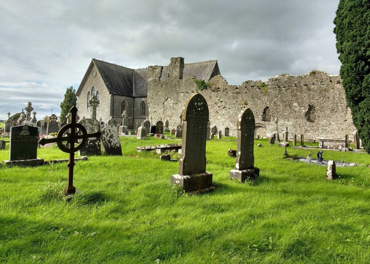 Grave YardGraveyard · 459 yd
 Fulacht fia in Milltown NorthFulacht fia · 572 yd
 Lismakeery Castle (in ruins)Castle, tower house · 767 yd
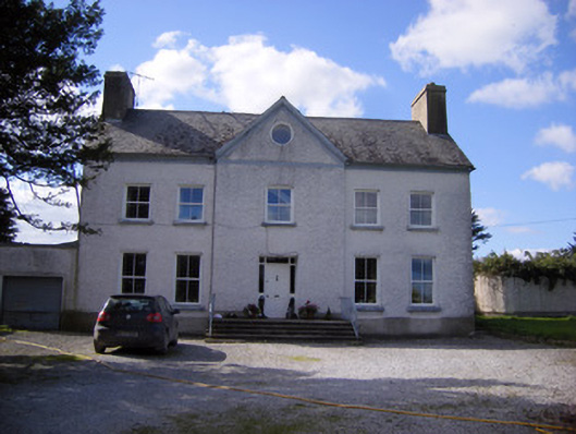 Bettyville housecountry house · 788 yd
 Milltown Castle (in ruins)Castle, tower house · 924 yd
 Askeaton CastleHeritage attraction · 1.8 mi
 Holly IslandIslet · 3.1 mi
 TobernablahySpring · 3.9 mi
 St. Kieran's WellSpring · 4.3 mi
 Flat cemetery in CroaghFlat cemetery · 4.6 mi
 Little HeavenHeritage attraction · 4.8 mi