What is recorded here
Fairy fort in Milltown, County Limerick: a 31.5m earthen ring on a SE-facing pasture slope, with a dip in the eastern bank and a road at its north-east edge. In 1841 the survey called it a burial ground, yet no grave marker remains in the description. The earth may have hidden bodies, excluded cattle, or simply marked the boundary between human fields and fairy claim.
In pasture, on SE-facing slope. Roughly circular area (31.5m E-W) enclosed by earthen bank (int. H 0.2m; ext. H 0.9m) NE->ESE, and defined by scarped edge (H 0.7m; Wth 3m) ESE->SW. It is further enclosed by earthen bank (int. H 0.9m) running against inner face of field wall SW->NW, and bordered by public road NW->NE. Dip in bank (Wth 4.8m) at E. Interior, under pasture, slopes down to E. Site is labelled a "burial ground" on 1841 OS 6-inch map (LI011-126---).
Compiled by: Denis Power
Date of upload: 26 August 2011
The monument record does not grant public access. Check the route and ask the landowner before entering private land.
- What survives
- Recorded monument
Places near here
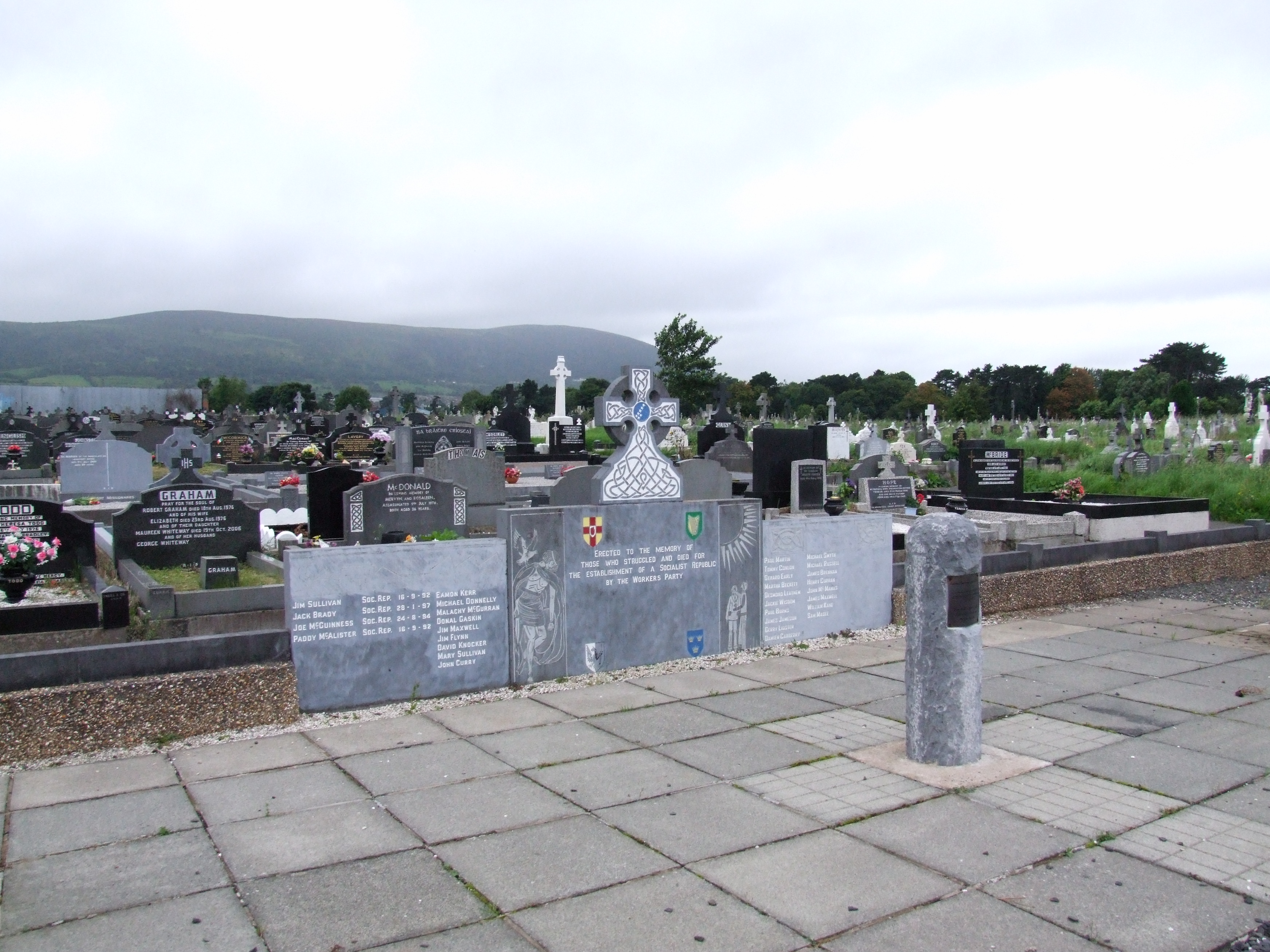 (Site of) Grave YardBurial ground · 37 yd
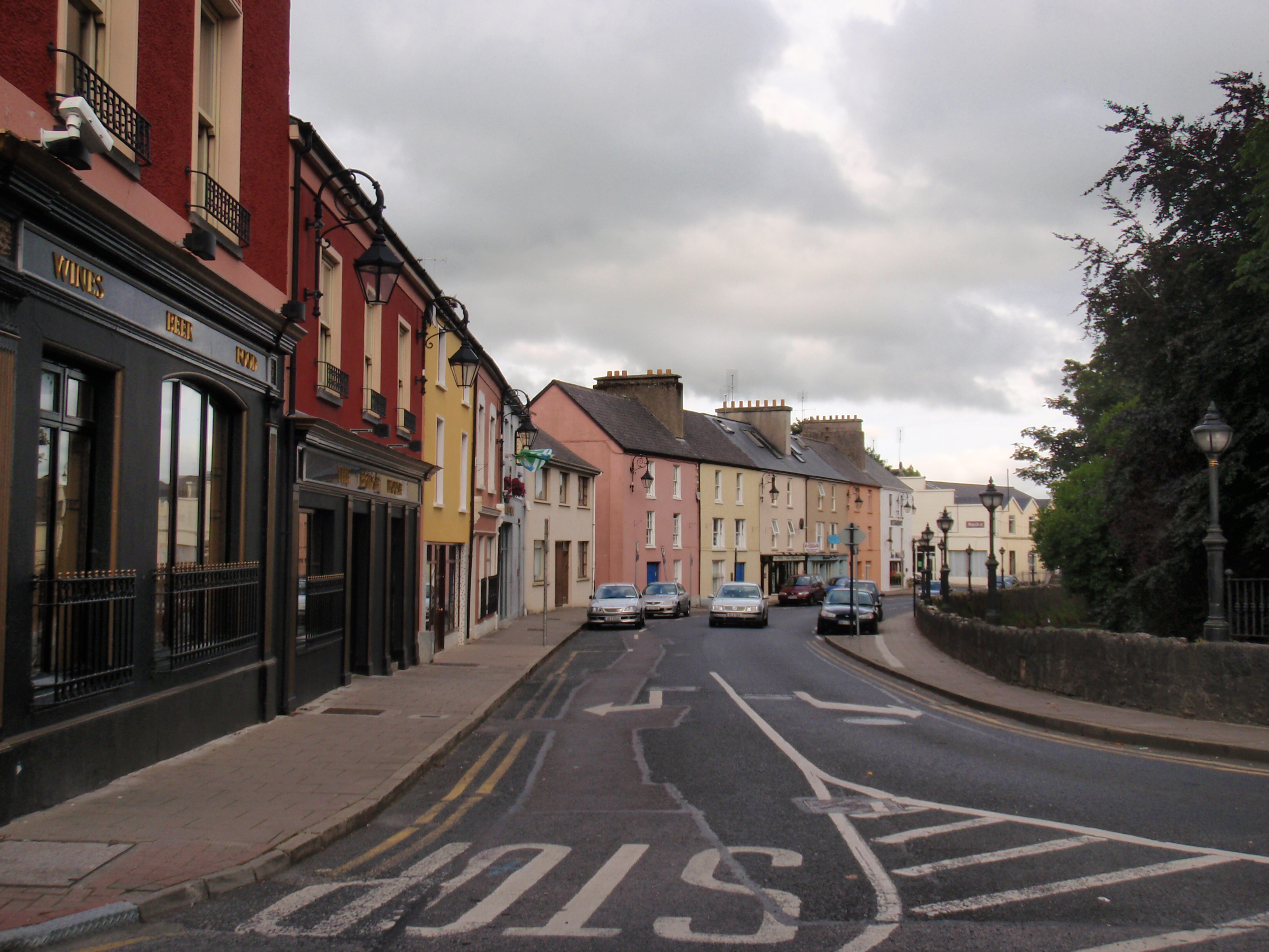 IndicatedFairy fort / earthen ringfort · 541 yd
 Bawn in Castletown (kenry By.)Bawn · 1721 yd
 schoolschool · 1.0 mi
 Prospect Househouse · 1.0 mi
 CastleCastle, tower house · 1.3 mi
 Ringmoylan PierVisitor information · 2.7 mi
 Stonehall Visitor FarmHeritage attraction · 3.1 mi
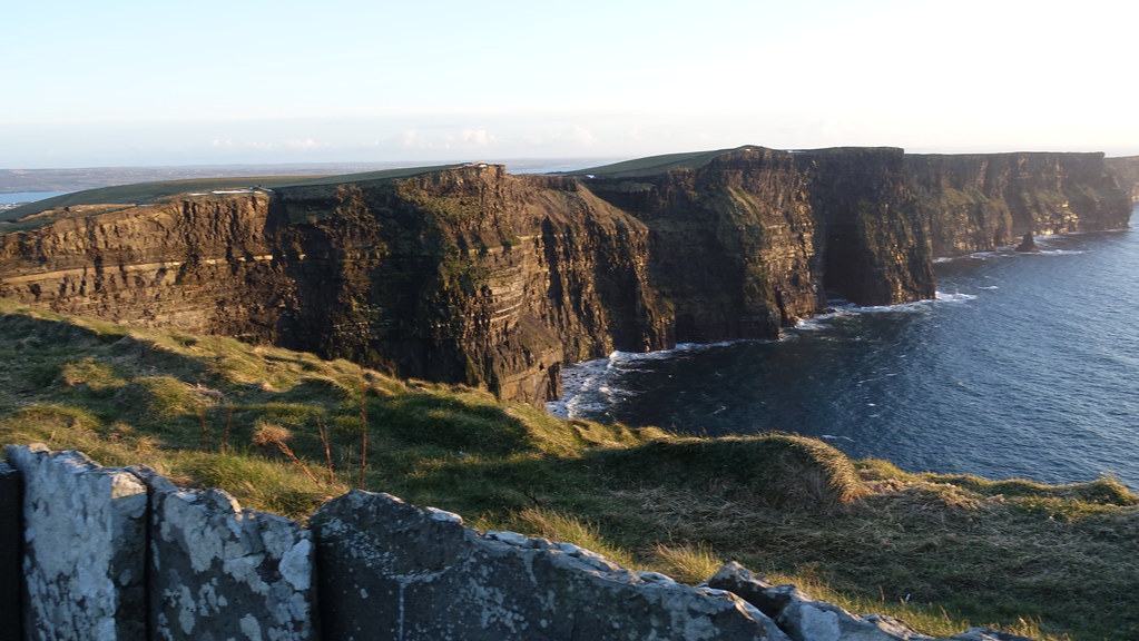 Conor's RockNamed rock · 3.1 mi
 European YewEuropean Yew · 3.2 mi
 Courtbrown PointHeadland · 3.3 mi
 Curraghchase Forest ParkForest · 3.4 mi