What is recorded here
Fairy fort in Milltown, County Cork: a 32-metre earthen ring on a gentle slope, with worn banks, a fosse and a smaller triangular banked area nearby. It is the kind of place where people may have kept animals, marked a boundary or simply made a shape the hill could not erase. The earth still holds that shape, while the lives inside it have gone thin as breath.
In pasture, on gentle SSE-facing slope. Circular area (32.6m N-S; 32.3m E-W) enclosed by worn earthen bank (H 1.05m to base of fosse) SW->ESE, scarp elsewhere; outer bank (H 1.1m) survives NW->E, separated from inner bank by intervening fosse; external fosse (D 0.8m) NW->N. Section of outer bank, depicted on 1905 OS 6-inch map SSW->NW, no longer survives. To NE, on N side of field boundary extending ENE form fort, small triangular area (18m N-S; 19m E-W) defined by low earthen banks possibly associated with fort. Interior raised on S side to compensate for hillslope.
The above description is derived from the published 'Archaeological Inventory of County Cork. Volume 4: North Cork' (Dublin: Stationery Office, 2000). In certain instances the entries have been revised and updated in the light of recent research.
Date of upload/revision: 14 January 2009
The monument record does not grant public access. Check the route and ask the landowner before entering private land.
- What survives
- Recorded monument
Places near here
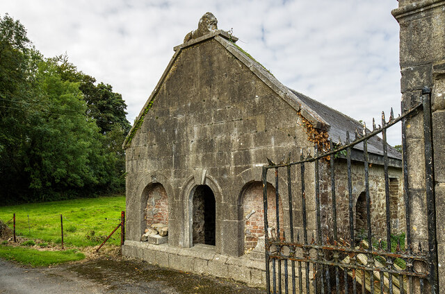 Milltown Castledemesne walls/gates/railings · 377 yd
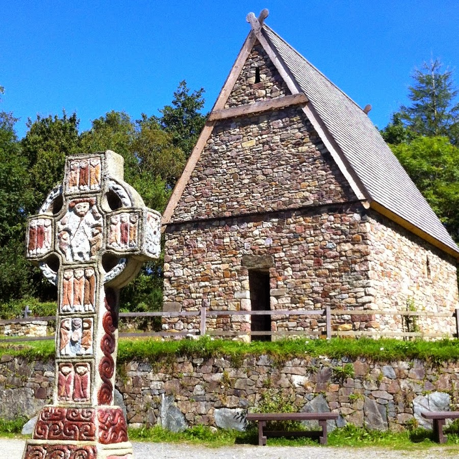 Fulacht FiadhFulacht fia · 479 yd
 Enclosure in Ardmore (orrery and Kilmore By.)Enclosure · 1082 yd
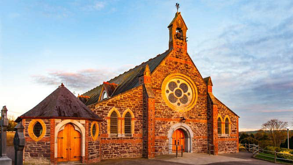 Cooliney Church (in Ruins)Church · 1225 yd
 CastleCastle, motte · 1.3 mi
 TumulusCastle, motte · 1.8 mi
 Holy Cross CemeteryGraveyard · 2.5 mi
 Windmill HillMountain / peak · 3.3 mi
 Ballyhoura WayWalking route · 3.6 mi
 CarrigeenMountain / peak · 4.6 mi
 BallinaboolaVisitor information · 4.8 mi
 ToberSpring · 5.0 mi