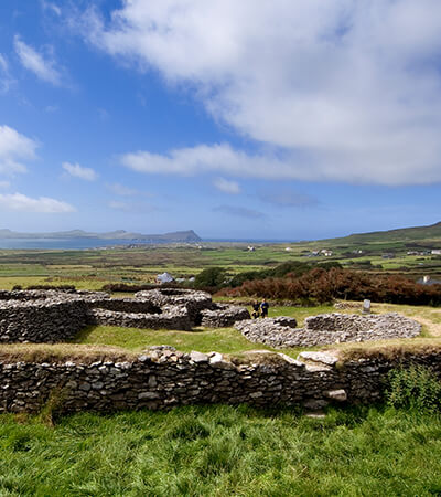
What is recorded here
Millgrange holds a degraded earthen ringfort where a southern scarps suggests an entrance and a possible underground passage cuts through the southwest. The lost shape still implies a place set apart, perhaps for residence, ritual or refuge, while the unnamed people who built it are gone. What remains is a broad shallow basin marked by a horseshoe depression, waiting to be read rather than explained.
The following description is derived from both the published 'Archaeological Inventory of County Louth' (Dublin: Stationery Office, 1986) and the 'Archaeological Survey of County Louth' (Dublin: Stationery Office, 1991). In certain instances the entries have been revised and updated in the light of recent research.
Date of upload/revision: 17 July 2007
Sub-circular raised area enclosed by earthen bank, now so degraded as to form a scarped platform (int. dims. 57m E-W, 53m N-S, H 1.2-2m). Depression in scarp at S may represent ancient entrance. Possible Man-made underground passage (LH009-003002-) in SW quadrant of interior. Horseshoe shaped depression of unknown significance to N of centre of interior.
The monument record does not grant public access. Check the route and ask the landowner before entering private land.
- What survives
- Recorded monument
Places near here
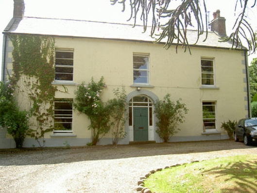 Grange Househouse · 841 yd
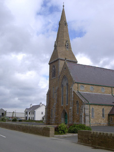 Catholic Church of the Star of the Seachurch/chapel · 993 yd
 Enclosure in MuchgrangeEnclosure · 1078 yd
 St James WellSpring · 1119 yd
 St. Jamess WellHoly well · 1128 yd
 Castle in RuinsCastle, unclassified · 1426 yd
 GreenoreVisitor information · 1.6 mi
 Ballug CastleCastle · 1.7 mi
 Greenore PointHeadland · 1.8 mi
 The BushPicnic place · 1.9 mi
 Grange UpperMountain / peak · 2.0 mi
 Leprechauns caveCave · 2.2 mi
Other information
Photo: Credit not shown in the picture search · Rights wording not checked; contact us if this picture should be removed