What is recorded here
Fairy fort in Mell, County Louth: a 30m circular fosse inside a larger oval enclosure on a low spur, overlooking a distant stream curve. The name suggests people once imagined more than humans lived there, yet the measured earthworks point to a practical defended or domestic place. Its double boundary and elevated position imply careful choice of ground, likely for visibility, drainage or control of the nearby watercourse.
Located at the tip of a small, low W-E spur. It overlooks a curve to the E of a small N-S stream that is c. 170-200m distant. The cropmark of a circular enclosure (diam. c. 30m) defined by a single fosse is visible only on Google Earth (21/07/2021). This is within an outer oval enclosure (dims c. 60m NE-SW; c. 50m NW-SE) defined by single fosse, but the perimeters of both appear to coincide NW-N.
See the attached enhanced view from Google Earth (21/07/2021)
Compiled by: Michael Moore
Date of upload: 31 August, 2021
The monument record does not grant public access. Check the route and ask the landowner before entering private land.
- What survives
- Recorded monument
Places near here
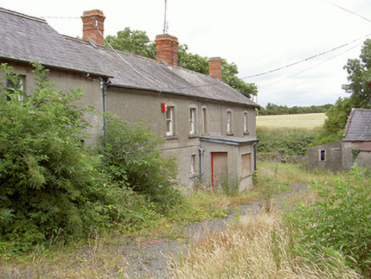 farm housefarm house · 219 yd
 Enclosure in MellEnclosure · 453 yd
 Man-made underground passage in MellMan-made underground passage · 623 yd
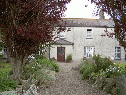 Drybridge Househouse · 820 yd
 Yellow IslandIslet · 1379 yd
 Grove IslandIslet · 1594 yd
 Battle of the Boyne Visitor CentreMuseum · 1.4 mi
 Battle of the BoyneMajor battlefield · 1.4 mi
 European YewEuropean Yew · 1.4 mi
 Newgrange Business ParkMemorial · 1.9 mi
 St. Peter's ChurchMemorial · 1.9 mi
 Proudfootstown CastleCastle, unclassified · 1.9 mi