What is recorded here
Forty metres of packed earth rise above the Meenvane pasture, enclosing a space where cultivation ridges still cut across the grass. People built the bank, dug the fosse, and left a causeway at the south-east gap, yet local memory insists the fort belongs to fairies. The boundary between human labour and fairy ownership blunts when an underground passage waits at the centre, inviting curiosity into darkness rather than explanation.
In pasture, on crest of low ridge. Sub-circular raised area (35.3m N-S; 40.6m E-W) enclosed by earthen bank (H 2.6m); external fosse (D 2m); and counterscarp bank. Break in bank to SSE (Wth 3m), with causeway. Scarp running NW-SE cuts off part of interior to NE. Cultivation ridges cross interior on N-S axis; Man-made underground passage (CO139-034002-) at centre.
The above description is derived from the published 'Archaeological Inventory of County Cork. Volume 1: West Cork' (Dublin: Stationery Office, 1992). In certain instances the entries have been revised and updated in the light of recent research.
Date of upload/revision: 14 January 2009
The monument record does not grant public access. Check the route and ask the landowner before entering private land.
- What survives
- Recorded monument
Places near here
 Holy well in CooradarriganHoly well · 496 yd
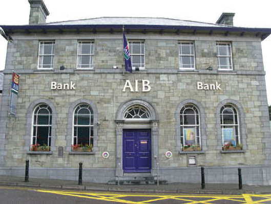 Allied Irish Bankbank/financial institution · 835 yd
 shop/retail outletshop/retail outlet · 839 yd
 Schull "An Taisce"Visitor information · 887 yd
 Pierre levéeMonument · 922 yd
 Cadogan's StrandHeritage attraction · 924 yd
 Schull HarbourBay · 1.1 mi
 Sailor's HillViewpoint · 1.4 mi
 Bawn in ArdintenantBawn · 1.6 mi
 Mount GabrielMountain / peak · 1.6 mi
 Coosheen PointHeadland · 1.6 mi
 Coney IslandIslet · 2.5 mi