What is recorded here
No one knows where the fort stood because men kept ploughing it until it vanished. That is not loss, it is transformation. The earth drank the wall and gave back grain. What you forget, the field remembers in a different shape.
Recorded by Bowman (1934, 157) as levelled fort in J. Murphy's, 'no sign now, as field has been tilled many times'. Exact location not known.
The above description is derived from the published 'Archaeological Inventory of County Cork. Volume 4: North Cork' (Dublin: Stationery Office, 2000). In certain instances the entries have been revised and updated in the light of recent research.
Date of upload/revision: 14 January 2009
The monument record does not grant public access. Check the route and ask the landowner before entering private land.
- What survives
- Recorded monument
Places near here
 IndicatedHouse, vernacular house · 354 yd
 Fulacht fia in MeenatarriffFulacht fia · 374 yd
 Fulachta FiadhFulacht fia · 1475 yd
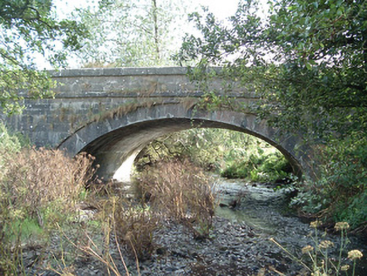 Aldworth's Bridgebridge · 1.2 mi
 Castle McAuliffe (Site of)Castle, unclassified · 1.9 mi
 CastleCastle, unclassified · 2.1 mi
 TaurMountain / peak · 3.7 mi
 Stanner's Glen, Priory WoodWood · 3.9 mi
 KnockacummerMountain / peak · 4.1 mi
 Kanturk CastleHeritage attraction · 7.1 mi
 Burial ground in AssolasBurial ground · 9.1 mi
 Rathcool WoodWood · 9.1 mi