What is recorded here
Fairy forts are not fairy forts. They are human ringforts, misnamed because people stopped remembering the humans who built them. Meenahony is one of those: a 34.6-metre earthen circle, 1.55 metres high in places, with stone facing and gaps to the north and south, sitting in rough grazing above the Shournagh River. The field fences around it have been removed, which means the circle is no longer being treated as a boundary for livestock but as a shape in its own right. That is either progress or arrogance. The earth does not seem able to tell the difference.
In rough grazing, to N of Shournagh River. Circular area (diam. 34.6m) defined by earthen bank (H 1.55m), stone-faced in parts. Gaps in bank to N and S. Surrounding field fences removed.
The above description is derived from the published 'Archaeological Inventory of County Cork. Volume 3: Mid Cork' (Dublin: Stationery Office, 1997). In certain instances the entries have been revised and updated in the light of recent research.
Date of upload/revision: 14 January 2009
The monument record does not grant public access. Check the route and ask the landowner before entering private land.
- What survives
- Recorded monument
Places near here
 Fulacht fia in Kilmartin UpperFulacht fia · 1136 yd
 Man-made underground passage in Gowlane SouthMan-made underground passage · 1278 yd
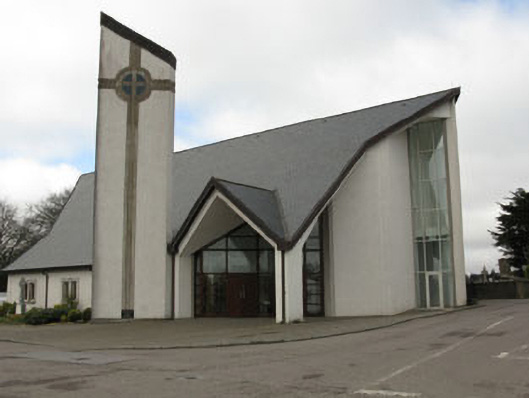 church/chapelchurch/chapel · 1.2 mi
 monumentmonument · 1.2 mi
 New TipperaryVisitor information · 1.6 mi
 Knockduff Wind FarmVisitor information · 1.7 mi
 Saint Bartholomew's WellSpring · 2.0 mi
 Bweeng LittleMountain / peak · 4.2 mi
 Oldcastle WoodWood · 4.2 mi
 Ballyvodane Castle (in Ruins)Castle, unclassified · 4.3 mi
 Knockcraugh HillMountain / peak · 4.7 mi
 Black WoodWood · 7.5 mi