What is recorded here
Thirty-two metres of forgotten strength still circle Meeltanagh, though centuries of ploughing and rain have reduced the defensible ring to a shallow scar. The missing southern bank suggests the land itself swallowed the fort, leaving only a faint ridge for cattle to graze across. What looked like a fairy trick may have been a human home, its doors and fires erased by patience rather than violence.
On a S-facing slope in low-lying pasture. A raised circular area (diam. c. 32m) enclosed by a much-denuded, low bank of earth and stone (Wth 2-3m; H 0.2m) with a partially infilled external fosse (Wth 2m; D 0.2m). There is no trace of either the bank or fosse at S. From ENE-S-SSW a modern NE-SW field boundary runs immediately outside the monument. A break (Wth 2m) in the bank at ENE may mark the original entrance.
Compiled by: Patrick F. O'Donovan
Date of upload: 26 August 2011
This remains an important historical record, but the official description says the monument is no longer visible or has been destroyed. The monument record does not grant public access. Check the route and ask the landowner before entering private land.
- What survives
- No visible remains or recorded as destroyed
Places near here
 IndicatedEnclosure · 488 yd
 Enclosure in Cross (ardagh By.)Enclosure · 842 yd
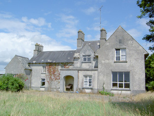 Sleehaun Househouse · 1.1 mi
 post boxpost box · 1.2 mi
 Ardagh DemesneFort · 1.6 mi
 Fort, MoataphucaCastle, motte · 1.9 mi
 Pedunculate OakPedunculate Oak · 2.4 mi
 Common AlderCommon Alder · 3.0 mi
 National Famine WayWalking route · 4.2 mi
 Graveyard in Curry (ardagh By., Coolamber Ed)Graveyard · 7.1 mi
 Granard MotteMotte-and-bailey castle remains · 11 mi
 1798 Monumentmonument · 11 mi