What is recorded here
Fairy fort / earthen ringfort in Mayo stands on a rise above a low-lying landscape, a circular space about forty metres across bounded by an earthen bank and a faint outer ditch. Its entrance has vanished under grass and time, leaving the circle closed to human memory but perhaps still readable by the creatures local story places inside. The bank rises two metres at its tallest edge, sturdy enough to exclude doubt and invite imagination. What is hidden is not absence; it is a room waiting for a different kind of witness.
Situated on a rise in an undulating, low-lying landscape. This is an overgrown circular area (diam. c. 40m) defined by an earthen bank (at SE: Wth 2.1m; int. H 0.4m; ext. H 2.15m) and a slight external fosse. An original entrance is not identified.
The above description is derived from 'The Archaeological Inventory of County Leitrim' compiled by Michael J. Moore (Dublin: Stationery Office, 2003). In certain instances the entries have been revised and updated in the light of recent research.
Date of upload: 23 September 2008
The monument record does not grant public access. Check the route and ask the landowner before entering private land.
- What survives
- Recorded monument
Places near here
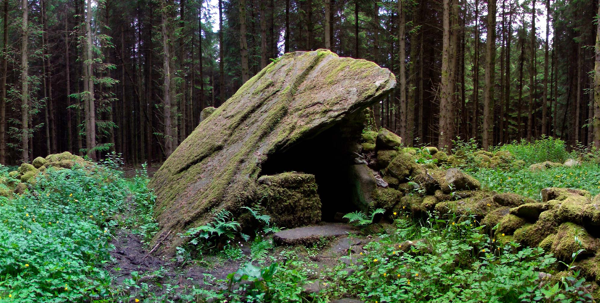 Druid's AltarArchaeological place · 1091 yd
 Turf IslandIsland · 1614 yd
 Buck IslandIsland · 1.0 mi
 Fairy fort / ringfort in AghavaddenFairy fort / ringfort · 1.4 mi
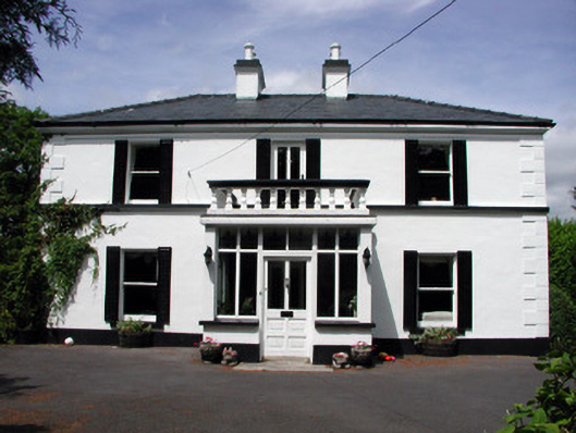 Curranmount Househouse · 1.5 mi
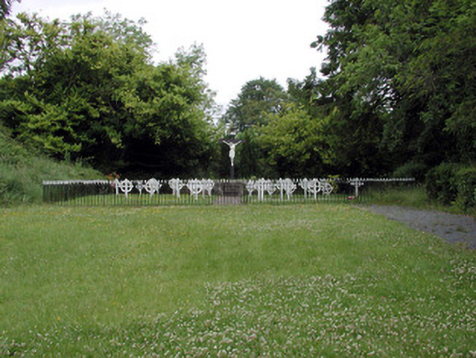 Convent of Mercygraveyard/cemetery · 1.7 mi
 DrumbadMountain / peak · 1.8 mi
 CastleCastle, tower house · 2.1 mi
 Cromlin Bridge WoodWood · 2.3 mi
 European ashEuropean ash · 2.4 mi
 CastleforeCastle, tower house · 2.8 mi
 DrumgownaghMountain / peak · 3.7 mi