What is recorded here
On a NW slope, c. 100m below the summit of the hill, in upland terrain under pasture. Small circular enclosure (diam. 26.1m N-S; 25.5m E-W) defined by a bank (Wth 2.4m crest, 4.3m base; H above int. 0.44m; H above ext. 0.7m). Mature conifers are growing around the bank, some trees which has been planted in the interior have fallen. In the N quadrant a field boundary, running roughly E-W, kinks around the monument, the stone wall of this field boundary has been built up against the outer face of the bank on this side. Interior slopes to NW. In W sector the bank is largely reduced to scarp. Lot of shale in bank construction. No obvious entrance feature though there is a gap (Wth 1.5m) in the E quadrant, though partially obscured by the trunk of a mature deciduous tree. This monument, so high up on one of the outlying hills of Slievemanmon, is not in a typical ringfort location. The fact that it is also planted with conifers suggests that it may be a later landscape feature.
Compiled by: Jean Farrelly
Date of upload: 26 August 2011
The monument record does not grant public access. Check the route and ask the landowner before entering private land.
- What survives
- Recorded monument
Places near here
 Enclosure in MayladstownEnclosure · 710 yd
 Concentric enclosure in Brittas (kilmurry Par.)Concentric enclosure · 815 yd
 Kilcash WoodForest · 898 yd
 Carrigaloe RockNamed rock · 1026 yd
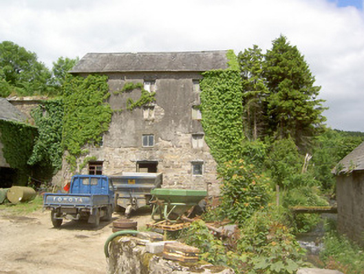 mill (water)mill (water) · 1.0 mi
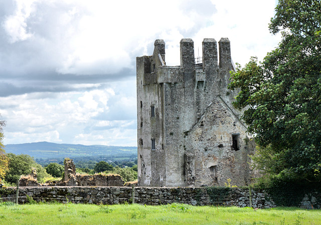 Bawn in KilcashBawn · 1.1 mi
 Kilcash Castle (in ruins)Castle, tower house · 1.1 mi
 Kilcash Church (in ruins)Church · 1.1 mi
 Wild CherryWild Cherry · 1.3 mi
 Curraghdobbin HillMountain / peak · 2.1 mi
 SheegounaMountain / peak · 2.6 mi
 Thomas KielyMemorial · 2.9 mi