What is recorded here
Fairy fort in Maulrour, County Cork: a 21-metre earthen ring on a south-facing pasture slope, its bank still standing nearly two metres high. Cultivation ridges cross the interior, suggesting people worked the land inside long after the fort stopped being a fortress. The fairies may have taken the house but they forgot the soil, which is why the field still remembers being held.
In pasture, on S-facing slope. Circular area (20.8m N-S; 21.4m E-W) enclosed by earthen bank (H 1.85m) S->SSE; scarp SSE->S; with shallow external fosse SW->NNE. Cultivation ridges cross interior on N-S axis.
The above description is derived from the published 'Archaeological Inventory of County Cork. Volume 1: West Cork' (Dublin: Stationery Office, 1992). In certain instances the entries have been revised and updated in the light of recent research.
Date of upload/revision: 14 January 2009
The monument record does not grant public access. Check the route and ask the landowner before entering private land.
- What survives
- Recorded monument
Places near here
 MaullaghseefinBarrow, mound barrow · 876 yd
 Man-made underground passage in Farran (carbery East (e.d.) By.)Man-made underground passage · 1241 yd
 Monteen Castle (in Ruins)Castle, tower house · 1497 yd
 Skeaf West Househouse · 1624 yd
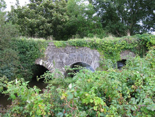 Skeaf Bridgebridge · 1732 yd
 English hollyEnglish holly · 1.0 mi
 Graveyard in KilmalodaGraveyard · 1.0 mi
 Argideen Valley trailVisitor information · 2.5 mi
 Johnny Sheila MurphyMemorial · 2.5 mi
 Argideen Loop WalksVisitor information · 2.5 mi
 Michael Collins CentreMuseum · 2.9 mi
 Tobar MacloonaboySpring · 2.9 mi