What is recorded here
Maulnagrough holds a broken fairy fort beside the Foherish River, where a shallow ditch still marks the edge of a lost circular home. People may have lived inside that small world, tended gardens, raised children or fled storms while the slope leaned above them. The ditch remains, but the wall and roof have vanished, leaving a hollow bowl of grass and memory instead of a house.
In pasture, at base of SE-facing slope and to N of Foherish River. Depicted as hachured circular enclosure (diam. c. 45m) on 1842 OS 6-inch map; as circular raised area, enclosed S->WNW by field boundary, on 1903 and 1940 OS 6-inch maps. Slightly raised circular area (48m N-S; 44m E-W) enclosed by fosse (D 1.2m). No trace of enclosing bank but interior saucer-shaped in profile. Causeway across fosse to SSE. Interior planted with trees.
The above description is derived from the published 'Archaeological Inventory of County Cork. Volume 3: Mid Cork' (Dublin: Stationery Office, 1997). In certain instances the entries have been revised and updated in the light of recent research.
Date of upload/revision: 14 January 2009
The monument record does not grant public access. Check the route and ask the landowner before entering private land.
- What survives
- Recorded monument
Places near here
 sign postsign post · 899 yd
 St John the Baptist Roman Catholic Churchchurch/chapel · 1027 yd
 Cist in Glantane EastCist · 1680 yd
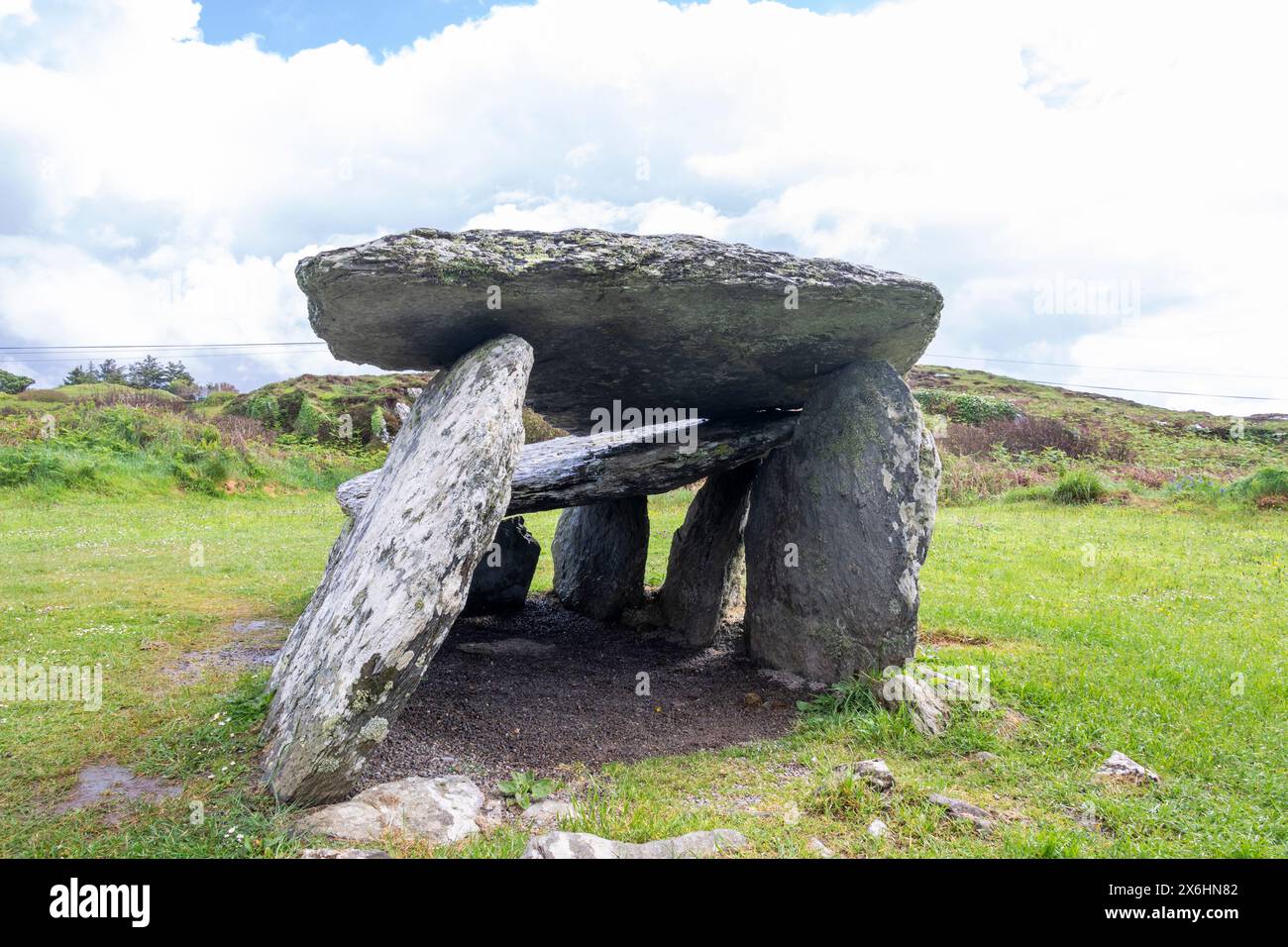 Wedge tomb in CarrigonirtaneWedge tomb · 1728 yd
 Cnoc na nUlán (mullach thoir)Mountain / peak · 2.6 mi
 Mullaghanish Far North-East TopMountain / peak · 2.7 mi
 Paddy Mulcahey 2009Memorial · 3.4 mi
 Standing Stone ? At J WellMemorial · 3.4 mi
 Kilmeedy CastleCastle, tower house · 3.9 mi
 RowanRowan · 4.5 mi
 Birds of DuhallowVisitor information · 4.7 mi
 Blackwater (Duhallow) WayWalking route · 4.7 mi