What is recorded here
Maulagow holds a broken double arc of earthen banks, not a complete fort, proving that human hands built what fantasy later renamed. The lios label suggests people preferred believing fairies inhabited the stones before admitting men lived there. Pasture grass has softened the edges, but the southern slope still catches light on the scarps where the original banks collapsed.
In pasture, on S-facing slope. Double arc, SW->W formed by two, low grass-covered earthen banks (H c. 0.9m) with shallow intervening fosse; banks replaced by scarps (H 1.1m) with intervening terrace S->SW. Known locally as "the lios".
The above description is derived from the published 'Archaeological Inventory of County Cork. Volume 1: West Cork' (Dublin: Stationery Office, 1992). In certain instances the entries have been revised and updated in the light of recent research.
Date of upload/revision: 14 January 2009
The monument record does not grant public access. Check the route and ask the landowner before entering private land.
- What survives
- Recorded monument
Places near here
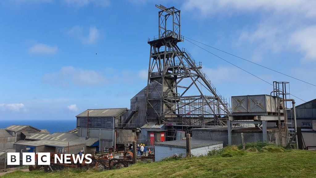 Manganese Mines (Disused)Mining complex · 446 yd
 schoolschool · 795 yd
 Church (in Ruins)Church · 1206 yd
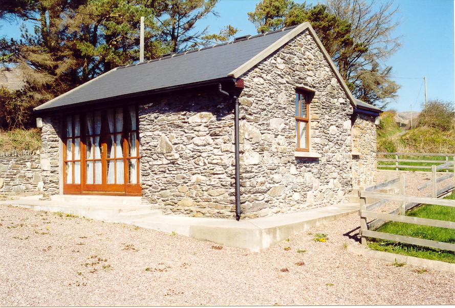 Enclosure in Aghatubrid MoreEnclosure · 1349 yd
 Myross PointHeadland · 1704 yd
 Wild Atlantic WayVisitor information · 1757 yd
 Leap waterfallHeritage attraction · 1.1 mi
 Walk 1 - Drombeg Standing Stone Circle (7 - 9 km)Walking route · 1.1 mi
 Sitka SpruceSitka Spruce · 1.3 mi
 Big HeightMountain / peak · 1.3 mi
 Cooks WoodWood · 1.4 mi
 Coastguard StationRuins · 1.4 mi