What is recorded here
Situated on a slight rise, in gently undulating pasture, with good views in all directions. Depicted on the 1837 ed. OS 6-inch map as a circular tree-lined earthwork. Monument described in 1970 as a broad oval-shaped area (dims. 51m E-W; 48m N-S) enclosed by a steep bank with slight traces of an external fosse. The bank is best preserved from E-S-W-NW and is fragmentary from NW-N-E, where it barely rises above the interior. The bank has modern gaps at SSE and NW and a modern ramp has been cut through it at E. An old field bank intersects the scarp at S. The fosse is visible from SE-S-W-WNW and has been recut from S-W. A modern field fence encloses the site from S-W. The interior has a slight NE-facing slope and traces of cultivation ridges in the SE quadrant. Monument is visible today as a tree-lined earthwork on Digital Globe aerial photography.
Compiled by: Alison McQueen, Vera Rahilly and Caimin O’Brien
Date of upload: 05 June 2019
The monument record does not grant public access. Check the route and ask the landowner before entering private land.
- What survives
- Recorded monument
Places near here
 CastleCastle, tower house · 1073 yd
 OutlinedFairy fort / ringfort · 1203 yd
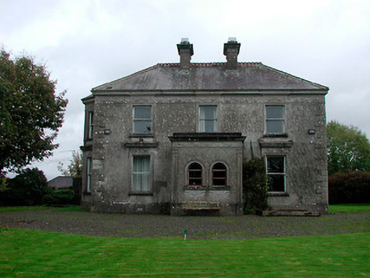 Russellstown Housecountry house · 1250 yd
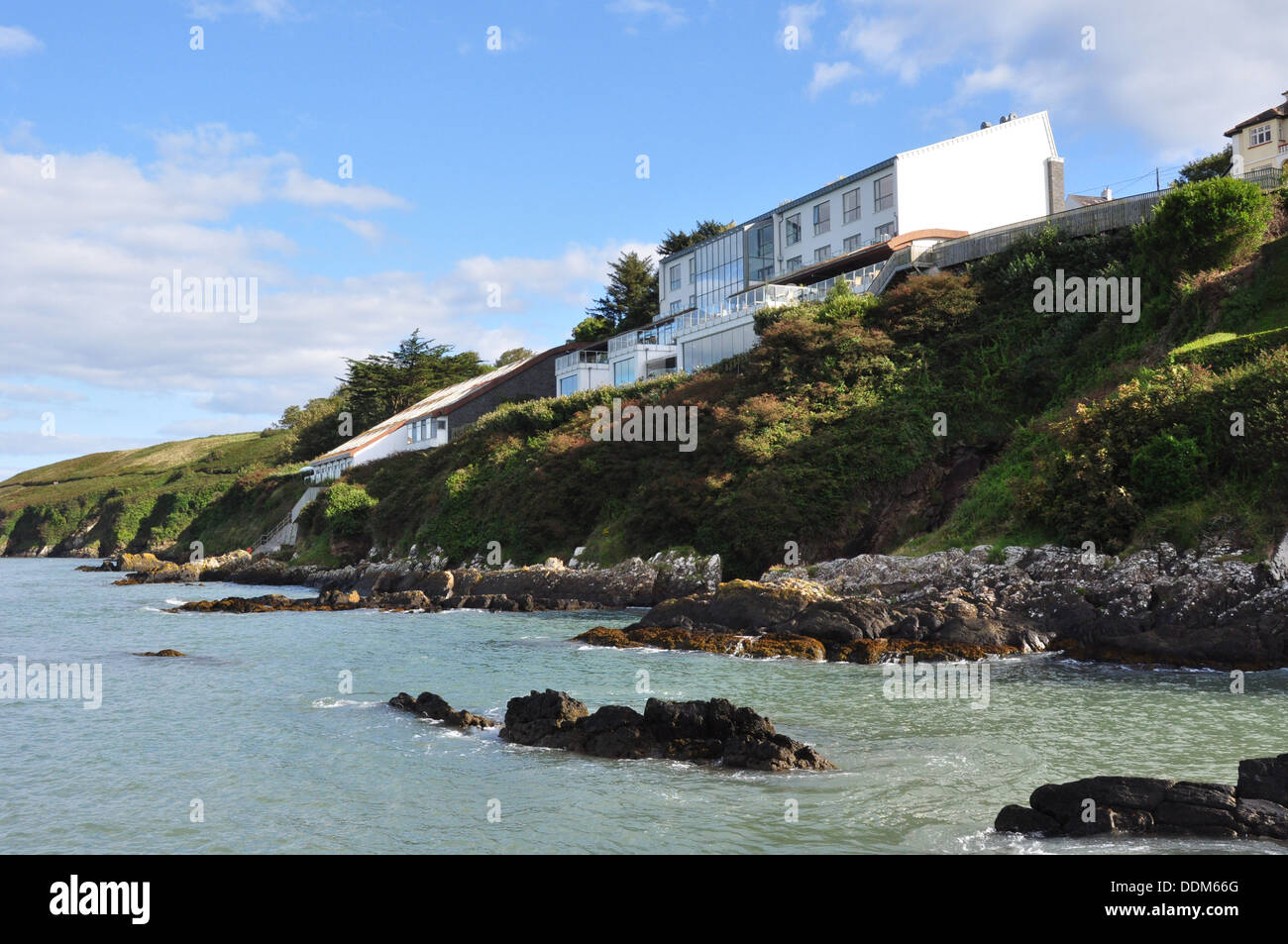 Hut site in ArdmoreHut site · 1295 yd
 Boardstown Castle (in Ruins)Castle, tower house · 1.0 mi
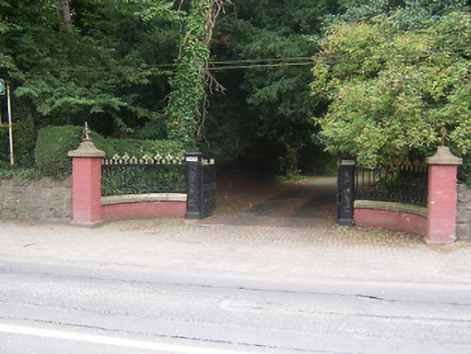 Glenmoredemesne walls/gates/railings · 1.5 mi
 Augustinian Monks Memorial StatueMemorial · 2.0 mi
 The Chimera GalleryGallery · 2.2 mi
 United Nations War MemorialMemorial · 3.0 mi
 Saint Brigid's WellSpring · 3.6 mi
 Long PlantingForest · 4.3 mi
 Lady's IslandWood · 4.7 mi