What is recorded here
Fairy fort / earthen ringfort in Marlfield is a fairy fort or earthen ringfort in Marlfield, County Tipperary, Ireland. Its raised circular area measures 38 metres north to south and 39 metres east to west on an east-facing slope. A denuded earth-and-stone bank, mostly reduced to a scarp, defines it. The 2011 source found no visible external ditch or entrance, although the weakened western bank may mark an earlier entrance.
On the break of an E-facing slope, in undulating pasture. Grass-covered, raised, roughly circular area (dims. 38m N-S; 39m E-W) with denuded earth and stone bank, mostly reduced to scarp (H 0.5-1.31m W and E sectors respectively). Scarp higher on downslope side. Field boundary runs N-S immediately W of W bank and townland boundary runs E-W to N of monument. Limited quarrying in the SW quadrant at the base of bank. There is a quarry pit E of the ringfort. There is no visible evidence of an external fosse and no visible entrance, however, there may have been an entrance in the W quadrant where the bank is much denuded.
Compiled by: Jean Farrelly
Date of upload: 26 August 2011
The monument record does not grant public access. Check the route and ask the landowner before entering private land.
- What survives
- Recorded monument
Places near here
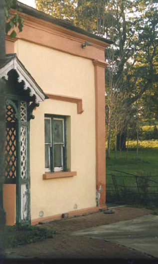 Oaklandsgate lodge · 423 yd
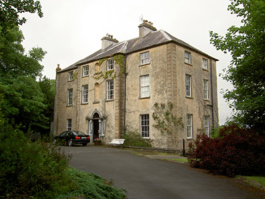 Salisbury Househouse · 610 yd
 CastleCastle, ringwork · 657 yd
 Patricks WellHoly well · 749 yd
 Common LimeCommon Lime · 880 yd
 European ashEuropean ash · 1065 yd
 Crusader's GraveHeritage attraction · 1236 yd
 Enclosure in Barn Demesne (inishlounaght Par.)Enclosure · 1254 yd
 Greenan Castle (in Ruins)House, fortified house · 1.2 mi
 Toberaheena WellSpring · 1.3 mi
 Kilmacomma HillMountain / peak · 1.4 mi
 Siege of Clonmelsiege · 1.8 mi