What is recorded here
Mannin holds a broken fairy fort where a field wall now cuts through ancient earth. The grassland swallows most of the circle, but the bank still resists forgetting. A church and graveyard wait fifteen metres away, suggesting people lived, died and prayed around this marker for generations. The fort may have been a home, a boundary or a warning, yet it remains large enough to walk inside and small enough to overlook.
In grassland. This poorly preserved circular rath (diam. 29.3m) is defined by a bank of earth and stone. A field wall cuts the monument at ENE and WSW. A church (GA104-195----) and graveyard (GA104-195001-) lie c. 15m to the SE. (McCaffrey 1952, 239-40, no. 106)
Compiled by: Galway Archaeological Survey, UCG
Date of upload: 15 February 2018
The monument record does not grant public access. Check the route and ask the landowner before entering private land.
- What survives
- Recorded monument
Places near here
 Ardnamoran ChurchChurch · 50 yd
 IndicatedFairy fort / stone ringfort · 468 yd
 LisheenodayFairy fort / earthen ringfort · 477 yd
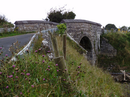 bridgebridge · 913 yd
 Cloghroak Castle (in ruins)Castle, tower house · 1.5 mi
 CarnanthomasCastle, unclassified · 1.7 mi
 Moyard WoodWood · 4.7 mi
 Kilcornan ForestWood · 4.7 mi
 Drumharsna CastleHeritage attraction · 5.4 mi
 Mulroney's IslandIslet · 8.6 mi
 Mweenish PointHeadland · 8.9 mi
 LisnabroneFairy fort / earthen ringfort · 688 yd